Map
Type of resources
Keywords
Publication year
Distribution Formats
Service types
Topics
-
The Historical Bushfire Boundaries service represents the aggregation of jurisdictional supplied burnt areas polygons stemming from the early 1900's through to 2022 (excluding the Northern Territory). The burnt area data represents curated jurisdictional owned polygons of both bushfires and prescribed (planned) burns. To ensure the dataset adhered to the nationally approved and agreed data dictionary for fire history Geoscience Australia had to modify some of the attributes presented. The information provided within this service is reflective only of data supplied by participating authoritative agencies and may or may not represent all fire history within a state.
-
This service has been created specifically for display in the National Map and the chosen symbology may not suit other mapping applications. The Australian Topographic web map service is seamless national dataset coverage for the whole of Australia. These data are best suited to graphical applications. These data may vary greatly in quality depending on the method of capture and digitising specifications in place at the time of capture. The web map service portrays detailed graphic representation of features that appear on the Earth's surface. These features include the administration boundaries from the Geoscience Australia 250K Topographic Data, including state forest and reserves.
-
A review of mineral exploration trends, activities and discoveries in Australia in 2019-2020
-
This web service provides access to the National Aviation Facilities Datasets, representing the spatial locations of air traffic services centres, along with all known aviation control towers, major hangars, major fuel depots, major terminals and fire fighting and rescue facilities located within Australia, all complimented with feature attribution.
-
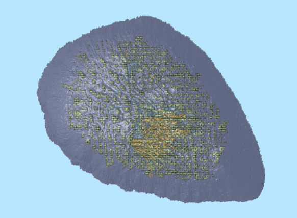
<b>This service will be decommissioned on 1/1/2024. The replacement service with existing data is located at https://warehouse.ausseabed.gov.au/geoserver/</b> This web service contains the Casey Station Bathymetry survey that displays one seamless bathymetry grid of 1m resolution. The GA-0348 survey, acquired by Geoscience Australia, Royal Australian Navy and Australian Antarctic Division (AAD) on-board the Research Vessel Howard Burton from the 23rd of December 2014 to the 27th of January 2015. Further details of the data lineage can be found with the associated database.
-
The service contains the Australian Coastal Geomorphology Landform Type Classifications, used to support a national coastal risk assessment. It describes the location and extent of landform types identifiable at scales between 1:250,000 and 1:25,000. It describes the landform types present in either erosional or dispositional environments. It is cached service with a Web Mercator Projection.
-
This web service provides access to the National Desalination Plants dataset and presents the spatial locations of all the known major desalination plants within Australia, all complemented with feature attribution.
-
The service contains the Australian Coastal Geomorphology Smartline, used to support a national coastal risk assessment. The 'Smartline' is a representation of the geomorphic features located within 500m of the shoreline, denoted by the high water mark. The service includes geomorphology themes and stability classes.
-
This service is produced for the National Map project. It provides seamless topographic greyscale mapping for the whole of Australia, including the external territories of Cocos (Keeling) Islands, Christmas Island, Norfolk Island and Lord Howe Island. The service consists of Geoscience Australia data at smaller scales and OpenStreetMap data is used at larger scales. The service contains layer scale dependencies.
-
This ESRI map (web) service contains geospatial seabed morphology and geomorphology information for Cairns Seamount within the Coral Sea Marine Park and are intended for use by marine park managers, regulators, the general public and other stakeholders. This web service uses the data product published in McNeil et al. (2023); eCat Record 147998.