Mapping
Type of resources
Keywords
Publication year
Service types
Topics
-
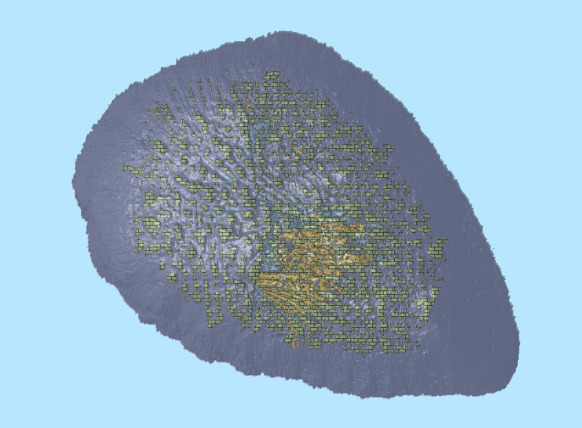
This OGC Web Feature Service (WFS) contains geospatial seabed morphology and geomorphology information for Cairns Seamount within the Coral Sea Marine Park and are intended for use by marine park managers, regulators, the general public and other stakeholders. This web service uses the data product published in McNeil et al. (2023); eCat Record 147998.
-
This OGC Web Feature Service (WFS) contains geospatial seabed morphology and geomorphology information for the Beagle Marine Park (South-east Marine Parks Network) and is intended for use by marine park managers, regulators and other stakeholders. This web service uses the data product published in Nanson et al. (2023); eCat Record 147976.
-
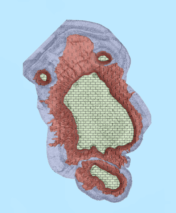
This OGC Web Feature Service (WFS) contains seabed morphology and geomorphology information for a subset area of Zeehan Marine Park (South-east Marine Parks Network) and is intended for use by marine park managers, regulators and other stakeholders. This web service uses the data product published in McNeil et al. (2023); eCat Record 148620.
-
This OGC Web Map Service (WMS) contains seabed morphology and geomorphology information for a subset area of Zeehan Marine Park (South-east Marine Parks Network) and is intended for use by marine park managers, regulators and other stakeholders. This web service uses the data product published in McNeil et al. (2023); eCat Record 148620.
-
This ESRI map (web) service contains geospatial seabed morphology and geomorphology information for Cairns Seamount within the Coral Sea Marine Park and are intended for use by marine park managers, regulators, the general public and other stakeholders. This web service uses the data product published in McNeil et al. (2023); eCat Record 147998.
-
This ESRI map (web) service contains geospatial seabed morphology and geomorphology information for the Beagle Marine Park (South-east Marine Parks Network) and is intended for use by marine park managers, regulators and other stakeholders. This web service uses the data product published in Nanson et al. (2023); eCat Record 147976.
-
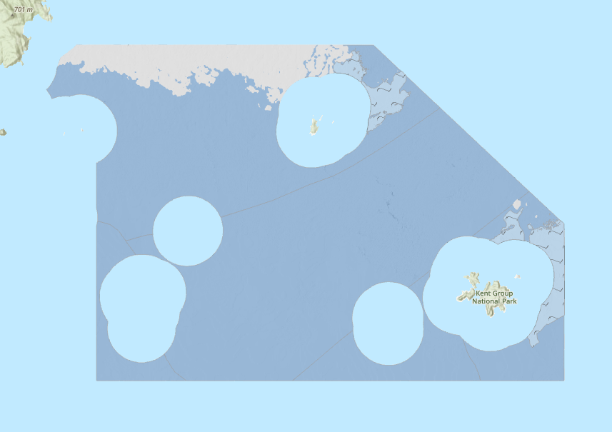
This ESRI map (web) service contains geospatial seabed morphology and geomorphology information for Flinders Reefs within the Coral Sea Marine Park and are intended for use by marine park managers, regulators, the general public and other stakeholders. This web service uses the data product published in McNeil et al. (2023); eCat Record 147998.
-
Delineation of Australia's domestic and international maritime limits and boundaries. These boundaries include a variety of jurisdictional, economic, regulatory and legal boundaries. <b>Value:</b> Used by national governments, businesses, organisations in determining boundaries for zones governed/managed by different regulatory structures/requirements. <b>Scope:</b> A national dataset at resolution relevant for presentation of regional spatial data such as digital maps or regional decision making.
-
<div>The 1:250,000 AUSTopo Map Series Index underpins the new 1:250,000 AUSTopo Australian Digital Topographic Map Series (published from 2023). The index drives the online 1:250,000 topographic index dashboard and accompanying web service. Within this index, each of the 516 map sheets that comprehensively cover Australia is presented as an individual tile. The dataset contains value-add attributes, including map title, tile number, the latitude and longitude of the maps sheets, and year/s published. The index also features direct download links to the maps. </div><div><br></div><div>This index exists alongside the previous 1:250,000 map series index, which served as the framework for map editions published between 1995 to 2012. </div><div><br></div><div>Available in ESRI Shapefile and GDB.</div>
-
<div>The Proterozoic alkaline and related igneous rocks of Australia is a surface geology compilation of alkaline and related igneous rocks of Proterozoic age in Australia. This dataset is one of five datasets, with compilations for Archean, Paleozoic, Mesozoic and Cenozoic alkaline and related igneous rocks already released.</div><div><br></div><div>Geological units are represented as polygon and point geometries and, are attributed with information that includes, but is not limited to, stratigraphic nomenclature and hierarchy, age, lithology, composition, proportion of alkaline rocks, body morphology, unit expression, emplacement type, presence of mantle xenoliths and diamonds, and primary data source. Source data for the geological unit polygons provided in Data Quality LINEAGE. Geological units are grouped into informal geographic “alkaline provinces”, which are represented as polygon geometries, and attributed with information similar to that provided for the geological units.</div>