Antarctic
Type of resources
Keywords
Publication year
Distribution Formats
Service types
Scale
Topics
-
The Stillwell Hills region comprises granulite facies gneisses which record evidence for multiple periods of deformation and metamorphism spanning more than 2500 Million years. The predominant orthogneiss package (Stillwell Orthogneiss) represents the margin of an Archaean craton exposed in Enderby Land, some 150 km to the west that was reworked during the late Proterozoic. Younger additions to the crust include Palaeoproterozoic charnockitic gneiss (Scoresby Charnockite) and Meso-Neoproterozoic mafic sills and dykes (Point Noble Gneiss, Kemp Dykes) and felsic pegmatites (Cosgrove Pegmatites). Subordinate supracrustal rocks, including metaquartzite, metapelitic, metapsammitic and calc-silicate gneiss (Dovers Paragneiss, Sperring Paragneiss, Stefansson Paragneiss, Keel Layered Paragneiss, Ives Gneiss) are intercalated and interfolded with the Archaean-Palaeoproterozoic orthogneisses.
-
The Antarctic field notebooks contain the geological observations recorded by Bureau of Mineral Resources geologists during their trips to Antarctica between 1948 – 1980s. Files include a scanned copy of the original handwritten field notebook, transcription of the notebook’s contents transcribed by volunteers and validated by an experienced geologist, and a csv file of the transcription with Text Encoding Initiative (TEI) tags. The original Antarctic field notebooks are held at the N.H. (Doc) Fisher Geoscience Library at Geoscience Australia, Canberra.
-
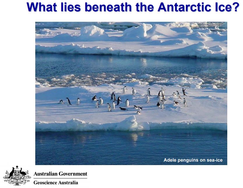
During the summer of 2003-2004, six scientists and technicians spent over a month camped on the Amery Ice Shelf in eastern Antarctica. The aim of their stay was to drill through several hundreds of metres of ice beneath their feet to reach the ocean cavity below. Through this drill hole they were then able to lower instruments through the ice shelf, to study a part of the ocean which never sees the light of day. This activity explores what they found and enables students to use real data to establish what really does lie beneath the ice. Teacher answers provided.
-
Prydz Bay and the Mac.Robertson Land Shelf exhibit many of the variations seen on Antarctic continental shelves. The Mac.Robertson Shelf is relatively narrow with rugged inner shelf topography and shalow outer banks swept by the west-flowing Antarctic Coastal Current. U-shaped valleys cut the shelf. it has thin sedimentary cover deposited and eroded by cycles of glacial advance and retreat through the Neogene and Quaternary. Modern sedimention is diatom-rich Siliceosu Muddy OOze in shelf deeps while on the banks, phytodetritus, calcareous bioclasts and terrigenous material are mixed by iceberg ploughing. Prydz Bay is a large embayment fed by the Amery Ice Shelf. it has a broad inner shelf deep and outer bank with depths ranging from 2400 m beneath the ice shelf to 100 m on the outer bank. A clockwise gyre flows through the bay. Fine mud and siliceous ooze drapes the sea floor however banks are scoured by icebergs to depths of 500 m.
-
During the 2008-09 Antarctic summer, Geoscience Australia surveyors undertook fieldwork at the Davis, Casey, Mawson and Macquarie Island research stations, as well as several remote sites in Eastern Antarctica. At each of the research stations, upgrades and local deformation monitoring surveys were performed at the continuously operating reference stations, which form part of the Australian Antarctic GNSS Network and the Australian Regional GNSS Network. Remote GPS sites in the Grove Mountains, Bunger Hills and Wilson Bluff were visited for equipment upgrades and data retrieval. Additional surveys were undertaken which focussed on enhancing the spatial infrastructure around the Larsemann Hills, Rauer Group, Vestfold Hills and Davis station. Support was also provided to a number of different Australian Antarctic Division projects and university research groups.
-
Lithostratigraphy, grain sizes and down-hole logs of Site 1166 on the continental shelf, and Site 1167 on the upper slope, are analyzed to reconstruct glacial processes in eastern Prydz Bay and the development of the Prydz trough-mouth fan. In eastern Prydz Bay upper Pliocene-lower Pleistocene glaciomarine sediments occur interbedded with open-marine muds and grade upward into waterlaid tills and subglacial tills. Lower Pleistocene sediments of the trough-mouth fan consist of coarse-grained debrites interbedded with bottom-current deposits and hemipelagic muds, indicating repeated advances and retreats of the Lambert Glacier-Amery Ice Shelf system with respect to the shelf break. Systematic fluctuations in lithofacies and down-hole logs characterize the upper Pliocene-lower Pleistocene transition at Sites 1166 and 1167 and indicate that an ice stream advanced and retreated within the Prydz Channel until the mid Pleistocene. The record from Site 1167 shows that the grounding line of the Lambert Glacier did not extend to the shelf break after 0.78 Ma. Published ice-rafted debris records in the Southern Ocean show peak abundances in the Pliocene and the early Pleistocene, suggesting a link between the nature of the glacial drainage system as recorded by the trough-mouth fans and increased delivery of ice-rafted debris to the Southern Ocean.
-
The Antarctic field notebooks contain the geological observations recorded by Bureau of Mineral Resources geologists during their trips to Antarctica between 1948 – 1980s. Files include a scanned copy of the original handwritten field notebook, transcription of the notebook’s contents transcribed by volunteers and validated by an experienced geologist, and a csv file of the transcription with Text Encoding Initiative (TEI) tags. The original Antarctic field notebooks are held at the N.H. (Doc) Fisher Geoscience Library at Geoscience Australia, Canberra.
-
Sub-glacial geothermal heat flow is acknowledged to be a critical, yet poorly constrained, boundary parameter influencing ice sheet behaviour (Winsborrow et al 2010). Geothermal heat flow is the sum of residual heat from the formation of the Earth and the natural heat generated within the Earth from the radiogenic decay of the major heat producing elements (HPEs), U, Th and K. Estimates of the sub-glacial geothermal heat flow in Antarctica are largely deduced from remotely-sensed low-resolution datasets such as seismic tomography or satellite-based geomagnetics. These methods provide broad regional estimates of geothermal heat flow reflecting variations in the mantle contribution as a function of thickness of a thermally homogeneous crust. These estimates of sub-glacial geothermal heat flow, although widely utilised in ice sheet modelling studies, fail to account for lateral and vertical heterogeneity of heat production within the crust where HPEs are concentrated and that are known to significantly impact regional geothermal heat flow values. Significant variations in regional geothermal heat flow due to heterogeneous crustal distribution of HPEs have been recognised within southern Australia (e.g. McLaren et al., 2006), a region that was connected to east Antarctica along the George V, Adélie and Wilkes Lands coastline prior to breakup of Gondwana. The South Australian Heat Flow Anomaly (SAHFA; e.g. Neumann et al., 2000) is characterized by surface heat flows as high as 126 mWm-2, some '2-3 times' that of typical continental values, due to local enrichment of HPEs. The SAHFA forms part of a once contiguous continental block called the Mawson Continent, a now dismembered crustal block that is known, from geological and geophysical evidence, to extend deep into the sub-glacial interior of the Antarctic. It is highly probable that the high geothermal heat flow characteristics of the SAHFA also extend into the sub-glacial hinterland of Terra Adélie and George V lands, a possibility that has not been previously considered in ice sheet studies. In order to account for the occurrence of several sub-glacial lakes in Adélie Land, Siegert & Dowdeswell (1996) concluded that 'a further 25-50 mWm-2 of equivalent geothermal heat' was required over the assumed local geothermal heat flow of ca. 54 mWm-2. Although that study concluded that the additional heat required for basal melting was derived from internal ice deformation, they also acknowledged the possible role of variations in geothermal heat flow, and now that the SAHFA is well characterised, this is a possibility that appears very likely.
-
The Antarctic field notebooks contain the geological observations recorded by Bureau of Mineral Resources geologists during their trips to Antarctica between 1948 – 1980s. Files include a scanned copy of the original handwritten field notebook, transcription of the notebook’s contents transcribed by volunteers and validated by an experienced geologist, and a csv file of the transcription with Text Encoding Initiative (TEI) tags. The original Antarctic field notebooks are held at the N.H. (Doc) Fisher Geoscience Library at Geoscience Australia, Canberra.
-
International efforts to protect the Vulnerable Marine Ecosystems (VMEs) that live on cold seeps and hydrothermal vents requires methods to predict where these features might be in advance of human activity. We suggest an approach to identifying seeps and vents in the CCAMLR region that uses existing data to highlight areas of possible seep and vent communities. These hierarchical criteria can be used to reduce the accidental disturbance of seep communities. We propose a 4 level classification of indicators: Class 1 Areas: VME confirmed by recovery of organisms or observation (video, stills). This level would qualify for VME status and high levels of protection. Class 2 Areas: Seepage/venting present but VME not confirmed. These locations would have a number of indicators of active seepage but VMEs have not been identified. Class 3 Areas: Seepage suspected from geophysical, geochemical or oceanographic observations. These areas have seismic indications of shallow gas or clathrates , structures suggesting fluid escape but where bubble flares or water column plumes have not been detected or where plume has been detected but not tied to an area of sea floor. Class 4 Areas: Area or geomorphic features associated with seepage and vents. These areas are large-scale geomorphic features such as Mid-Ocean Ridge rift valleys or volcanoes where vents are likely but not yet detected. Class 3 and Class 4 areas have been mapped from 45oE to 160oE using global bathymetry grids and seismic data from the SCAR Seismic Data Library.