Exploring for the Future
Type of resources
Keywords
Publication year
Service types
Topics
-
The Layered Geology of Australia web map service is a seamless national coverage of Australia’s surface and subsurface geology. Geology concealed under younger cover units are mapped by effectively removing the overlying stratigraphy (Liu et al., 2015). This dataset is a layered product and comprises five chronostratigraphic time slices: Cenozoic, Mesozoic, Paleozoic, Neoproterozoic, and Pre-Neoproterozoic. As an example, the Mesozoic time slice (or layer) shows Mesozoic age geology that would be present if all Cenozoic units were removed. The Pre-Neoproterozoic time slice shows what would be visible if all Neoproterozoic, Paleozoic, Mesozoic, and Cenozoic units were removed. The Cenozoic time slice layer for the national dataset was extracted from Raymond et al., 2012. Surface Geology of Australia, 1:1 000 000 scale, 2012 edition. Geoscience Australia, Canberra.
-
This report presents groundwater levels results from the East Kimberley groundwater project in the Northern Territory (NT), conducted as part of Exploring for the Future (EFTF), an eight year, $225 million Australian Government funded geoscience data and information acquisition program focused on better understanding the potential mineral, energy and groundwater resources across Australia. The East Kimberley groundwater project is a collaborative study between Geoscience Australia and State and Territory partners. It focuses on groundwater resources in the Keep River Plains of the NT. This report describes a data release of groundwater levels based on measurements collected in monitoring bores during the EFTF project. The full report includes: • A full description of how water levels in metres relative to Australian Height Datum (m AHD; where zero m AHD is an approximation of mean sea level) were calculated from manual dips and electronic data loggers for this project. • A series of tables in Appendix A containing sufficient information for each bore and datalogger file to reproduce the water levels reported in Appendix B and Appendix C. • A series of hydrographs in Appendix B showing how water levels (in m AHD) interpreted from manual dips and datalogger files varied during the EFTF project. • A series of electronic files in Appendix C that include - Data files from dataloggers in CSV file format that can be used with the information contained in this data release to regenerate the water levels shown on hydrographs in Appendix A. - Data files in CSV file format reporting the final water levels used to generate the hydrographs in Appendix B.
-
This data release contains accurate positional data for groundwater boreholes in terms of horizontal location as well as elevation of the top of casing protectors. Twenty-four boreholes located in the Nulla and McBride basalt provinces have had DGPS survey results compiled and are presented. Using 95% confidence intervals, the horizontal uncertainties are less than 1.2m and vertical uncertainties less than 0.9m. These results are a substantial improvement, particularly on the uncertainty of elevations, and as such allow water levels need to be compared between bores on a comparable datum, to enable a regional hydrogeological understanding. Quantifying the uncertainties in elevation data adds robustness to the analysis of water levels across the region rather than detracting from it.
-
One of the aims of the Exploring for the Future program is to promote the discovery of new mineral deposits in undercover frontiers. Iron oxide–copper–gold mineral systems are a desirable candidate for undercover exploration, because of their potential to generate large deposits with extensive alteration footprints. This mineral potential assessment uses the mineral systems concept: developing mappable proxies of required theoretical criteria, combined to demonstrate where conditions favourable for mineral deposit formation are spatially coincident. This assessment uses a 2D geographical information system workflow to map the favourability of the key mineral system components. Two outputs were created: a comprehensive assessment, using all available spatial data; and a coverage assessment, which is constrained to data that have no reliance on outcrop. The results of these assessment outputs were validated with spatial statistics, demonstrating how the assessment can predict the presence of known ore deposits. Both assessment outputs present new areas of interest with prospectivity in under-explored regions of undercover northern Australia. The intended aims are already being realised, as this tool has aided area selection for pre-competitive stratigraphic drilling as part of the MinEx CRC National Drilling Initiative. <b>Citation:</b> Murr, J., Skirrow, R.G., Schofield, A., Goodwin, J., Coghlan, R., Highet, L., Doublier, M.P., Duan, J. and Czarnota, K., 2020. Tennant Creek – Mount Isa IOCG mineral potential assessment. In: Czarnota, K., Roach, I., Abbott, S., Haynes, M., Kositcin, N., Ray, A. and Slatter, E. (eds.) Exploring for the Future: Extended Abstracts, Geoscience Australia, Canberra, 1–4.
-
The AusArray program aims to install small temporary passive seismic stations every 200 km across Australia. The seismic stations will passively measure small natural vibrations that travel through the Earth to help scientists understand the distribution and composition of rocks beneath the ground. Seismometers are sensitive instruments used to measure small natural vibrations that travel through the Earth caused by earthquakes, waves breaking on the shore and even wind. The data collected are analysed to create a three-dimensional model of the Earth’s subsurface. Passive seismic data can be used to model the Earth‘s structure, which is used to infer the geological history and assess the resource potential and natural hazards of the region.
-
This Record presents new Sensitive High Resolution Ion Micro Probe (SHRIMP) in situ monazite U–Pb geochronological results from the East Tennant area that were obtained in March 2022 as part of Geoscience Australia’s (GA) Exploring for the Future (EFTF) program. Three samples were targeted for monazite geochronology in order to constrain the timing of metamorphism and ductile deformation in the East Tennant area. Monazites in cordierite schist from the Alroy Formation in drill hole NDIBK01 (NDIBK01.300) yielded a weighted mean 207Pb/206Pb age of 1843.6 ± 6.1 Ma (95% confidence). Paragneiss from the Alroy Formation in drill hole NDIBK10 (NDIBK10.009) yielded monazites that returned a weighted mean 207Pb/206Pb crystallisation age of 1843.5 ± 5.1 Ma. Sparse monazites in sample NDIBK04.300, a garnet phyllite from drill hole NDIBK04, yielded a weighted mean 207Pb/206Pb crystallisation age of 1831 ± 28 Ma. These ages, from samples distributed throughout the East Tennant area, are interpreted to constrain the timing of an episode of low pressure, medium-grade metamorphism and coeval deformation.
-
The Officer Basin spanning South Australia and Western Australia is the focus of a regional stratigraphic study being undertaken as part of the Exploring for the Future (EFTF) program, an Australian Government initiative dedicated to increasing investment in resource exploration in Australia. Despite numerous demonstrated oil and gas shows, the Officer Basin remains a frontier basin for energy exploration with significant uncertainties due to data availability. Under the EFTF Officer-Musgrave Project, Geoscience Australia acquired new geomechanical rock property data from forty core samples in five legacy stratigraphic and petroleum exploration wells that intersected Paleozoic and Neoproterozoic aged intervals. These samples were subjected to unconfined compressive rock strength tests, Brazilian tensile strength tests and laboratory ultrasonic measurements. Petrophysical properties were also characterised via X-ray computerised tomography scanning, grain density and porosity-permeability analysis. Accurate characterisation of static geomechanical rock properties through laboratory testing is essential. In the modern exploration environment, these datasets are a precompetitive resource that can simplify investment decisions in prospective frontier regions such as the Officer Basin. Appeared in The APPEA Journal 62 S385-S391, 13 May 2022
-

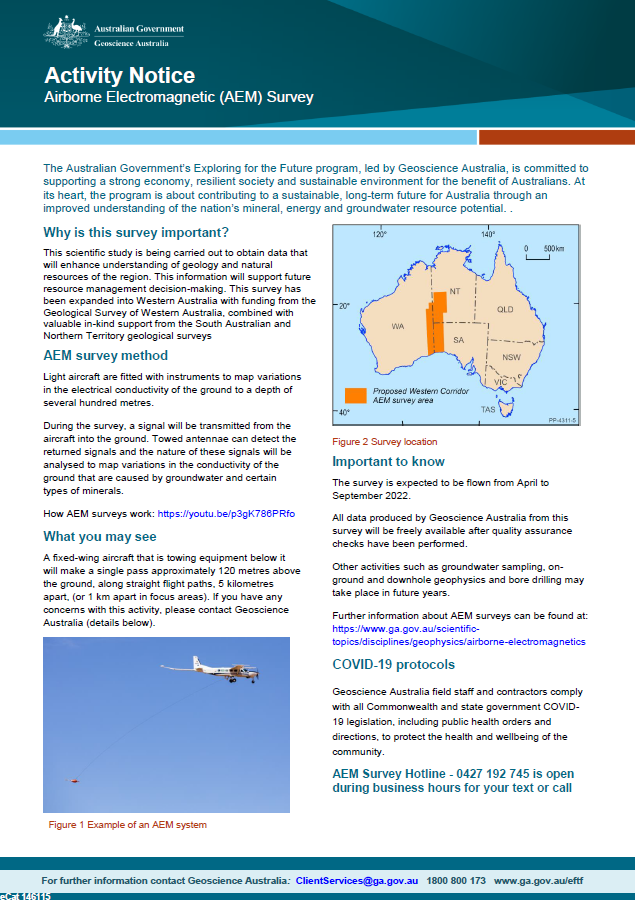
Geoscience Australia, in collaboration with state governments, will be carrying out airborne electromagnetic (AEM) surveys in western South Australia, southern NT and eastern WA during 2022. This scientific research is being carried out to obtain data that will enhance understanding of geology and natural resources of the region. This information will support future resource management decision-making. This survey has been expanded into Western Australia with funding from the Geological Survey of Western Australia, combined with valuable in-kind support from the South Australian and Northern Territory geological surveys. <p>
-

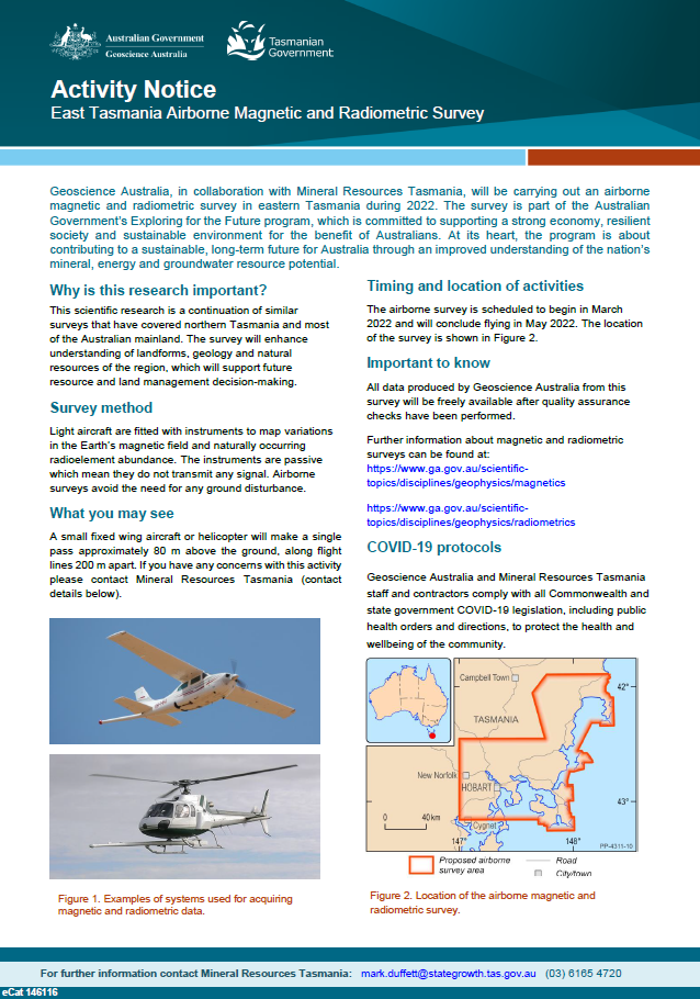
Geoscience Australia, in collaboration with Mineral Resources Tasmania, will be carrying out an airborne magnetic and radiometric survey in eastern Tasmania during 2022. The survey is part of the Australian Government’s Exploring for the Future program, which is committed to supporting a strong economy, resilient society and sustainable environment for the benefit of Australians. At its heart, the program is about contributing to a sustainable, long-term future for Australia through an improved understanding of the nation’s mineral, energy and groundwater resource potential. <p>
-

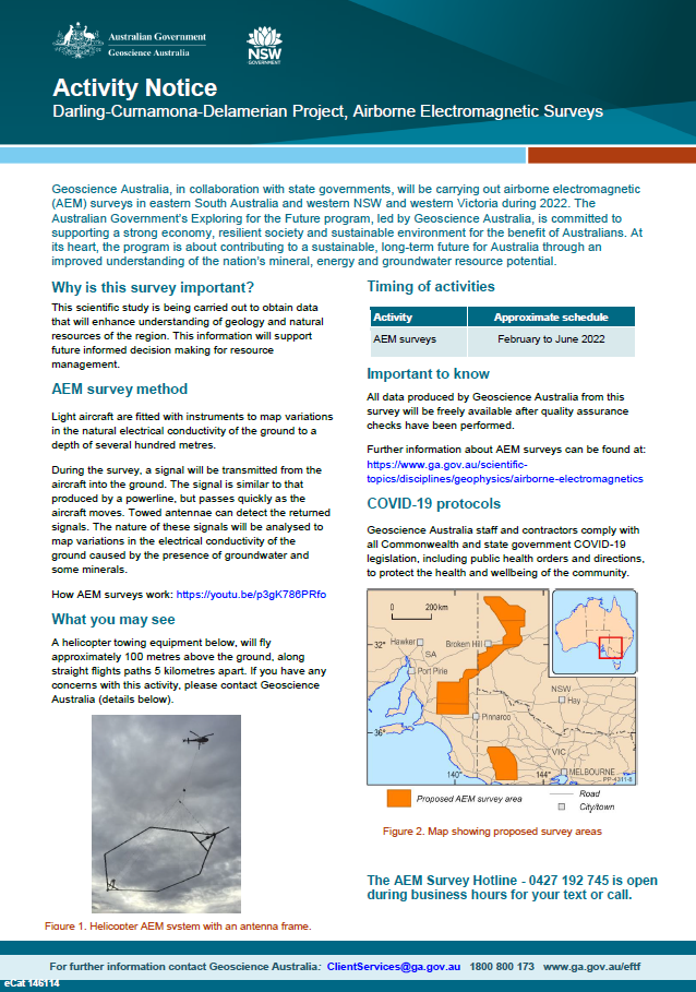
Geoscience Australia, in collaboration with state governments, will be carrying out airborne electromagnetic (AEM) surveys in eastern South Australia and western NSW and Victoria during 2022. The Australian Government’s Exploring for the Future program, led by Geoscience Australia, is committed to supporting a strong economy, resilient society and sustainable environment for the benefit of Australians. At its heart, the program is about contributing to a sustainable, long-term future for Australia through an improved understanding of the nation’s mineral, energy and groundwater resource potential <p>
