EDUCATION
Type of resources
Keywords
Publication year
Topics
-

<div>The A1 poster incorporates 4 images of Australia taken from space by Earth observing satellites. The accompanying text briefly introduces sensors and the bands within the electromagnetic spectrum. The images include examples of both true and false colour and the diverse range of applications of satellite images such as tracking visible changes to the Earth’s surface like crop growth, bushfires, coastal changes and floods. Scientists, land and emergency managers use satellite images to analyse vegetation, surface water or human activities as well as evaluate natural hazards.</div>
-
The Land Air Marine Access team have developed a Best Practice Standards approach to land, air and marine access and stakeholder engagement to protect Geoscience Australia's social licence and maximise the benefits of our science outcomes.
-
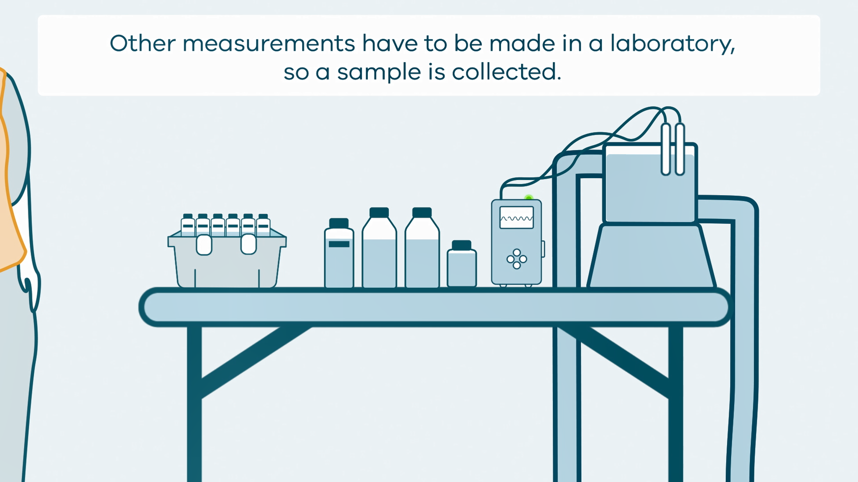
This animation shows how groundwater sampling is conducted. It is part of a series of Field Activity Technique Engagement Animations. The target audience are the communities that are impacted by GA's data acquisition activities. There is no sound or voice over. The 2D animation includes a simplified view of what groundwater sampling equipment looks like, what the equipment measures and how scientists use the data.
-
Flyer for year 9 students promoting careers in geoscience
-
Activity for secondary and senior secondary students examining a hypothetical city and its vulnerability to volcanic hazard risk. Includes background information for teachers, PowerPoint presentation, student activity sheet and worked answers.
-
Would you like to make your own rock? In this set of activities you can simulate the natural processes that form sedimentary rocks in just a few hours, instead of taking millions and millions of years. All the activities can be undertaken using readily available materials. Supervision recommended.
-
This series of short videos will demonstrate how to undertake mineral identification tests. The series will include mineral hardness, streak, density and effervescence an acid test.
-
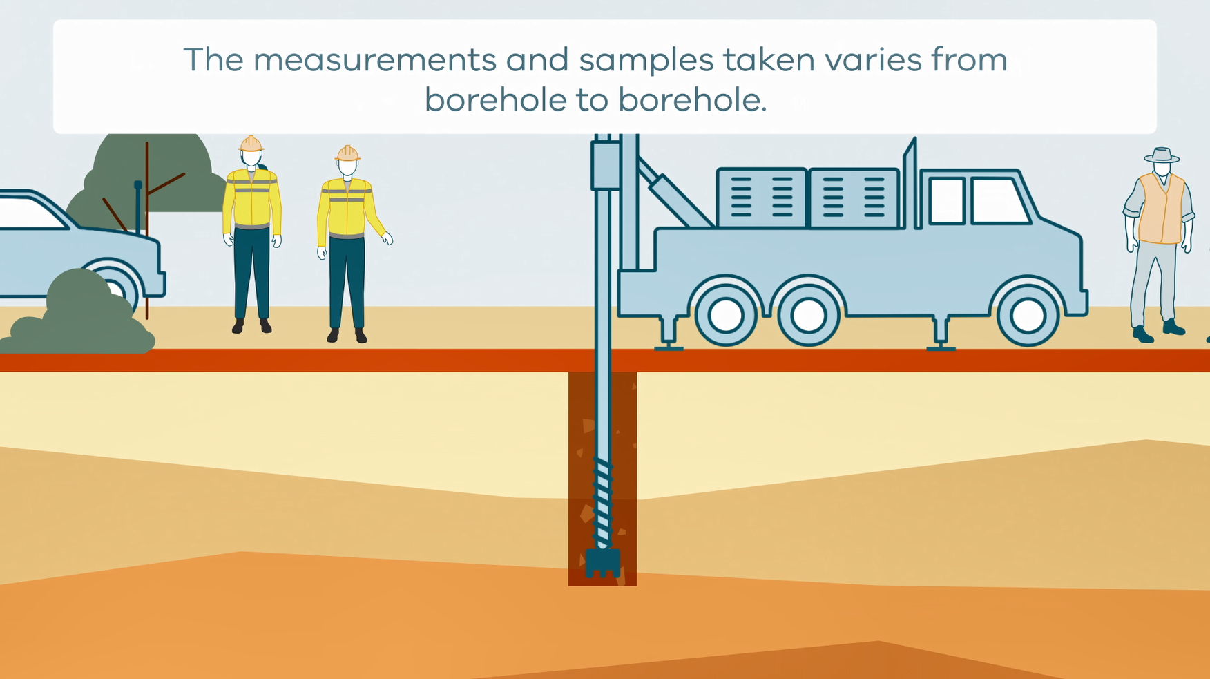
This animation shows how stratigraphic drilling is conducted. It is part of a series of Field Activity Technique Engagement Animations. The target audience are the communities that are impacted by GA's data acquisition activities. There is no sound or voice over. The 2D animation includes a simplified view of what stratigraphic drilling looks like, what measurements and samples are taken, and how scientists use the data.
-
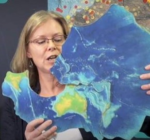
This short video by the Geoscience Australia Education Team is targeted at upper primary students but is suitable for a wider audience. It introduces the concept of tectonic plates making use of a tectonic plates puzzle. Students are asked to predict the direction and speed of plate movement and consider where and why earthquakes happen on the Australian Plate. It is an introduction to major concepts of Earth science delivered in a light-hearted manner with an interactive presentation style.
-
The Girls in STEM statement addresses Strategy 2028 impact area of ‘enabling an informed Australia’ by increasing earth science literacy and engagement while addressing issues of diversity and inclusion. The Statement articulates Geoscience Australia’s efforts to engage girls in STEM, particularly as it relates to our education program.