Seabed
Type of resources
Keywords
Publication year
Service types
Topics
-
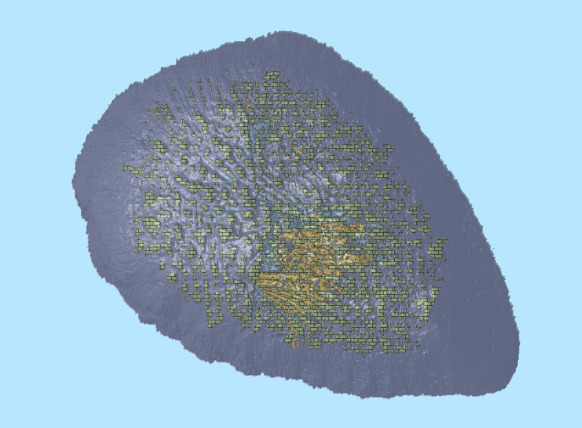
This dataset describes the seabed morphological features of an area in the South-west Corner Marine Park. The area is within the National Park Zone and adjacent Special Purpose Zone of the Capes region of the marine park. Multibeam bathymetry data of the area was collected during March 2020 and January-February 2021 by Geoscience Australia. The seabed morphological features of the area were mapped using semi-automatic seabed morphology mapping ArcGIS python tools developed by Geoscience Australia. As the result of the mapping, this dataset contains five bathymetric high features: Bank, Cone, Hummock, Mound and Ridge, and one morphology surface feature: Plane, defined in Dove et al. (2020). Dove, D., Nanson, R., Bjarnadóttir, L., Guinan, J., Gafeira, J., Post, A., Dolan, M.; Stewart, H.; Arosio, R, Scott, G. (October, 2020). A two-part seabed geomorphology classification scheme (v.2); Part 1: morphology features glossary. Zenodo. http://doi.org/10.5281/zenodo.4075248
-
Established in 2018, AusSeabed is a collaborative national seabed mapping initiative focused on delivering freely accessible seabed mapping data and coordinating efforts to map the gaps across the Australian maritime region of responsibility. AusSeabed is driven by a cross-sector steering committee bringing together organisations from the government, academia and private sectors to ensure an inclusive and diverse representation of the seabed mapping community. This Annual Progress Report provides a detailed account of the progress made against the AusSeabed program activities planned for 2021/22. A summary of highlights can be found in the Annual Highlights Report.
-
This document presents an overview of the AusSeabed 2022/23 Work Plan created by the AusSeabed Steering Committee and endorsed by the AusSeabed Executive Board. The work plan builds on the great work delivered in 2021/22 (see the Annual Highlights Report & Annual Progress Report). For more information on the direction and vision of the program, please refer to the AusSeabed Strategy. For further information about AusSeabed see <a href="https://www.ausseabed.gov.au">https://www.ausseabed.gov.au</a>
-
<b>This record was superseded on 11/11/2022 with approval from Director, National Seabed Mapping as it has been superseded by eCat 147191</b> Seabed mapping data collected using a Kongsberg 2040C multibeam sonar system aboard research vessel MVYolla including bathymetry (2 metre resolution), backscatter (1metre resolution), watercolumn and preliminary hard bottom classification. Seabed mapping in Apollo Marine Park with 114 square kilometres of continuous seabed mapping conducted by Deakin University in partnership with iXblue for Parks Australia.
-
This resource includes bathymetry data acquired during the Visioning the Coral Sea Marine Park bathymetry survey using Kongsberg EM302 and EM710 multibeam sonar systems. Visioning the Coral Sea Marine Park bathymetry survey (FK200429/GA4861) was led by Dr. Rob Beaman (James Cook University) and a team of scientists from Geoscience Australia, The University of Sydney, and the Queensland Museum, aboard the Schmidt Ocean Institute’s research vessel Falkor, from the 29th of April to 11th of June 2020. The primary objective of the survey was to map in detail the Queensland Plateau, including the steeper reef flanks and target the enigmatic seabed features, like the numerous drowned reef pinnacles and long meandering channels on the plateau surface. The second objective of this survey was to investigate the extent of the bleaching on the mesophotic or deeper reef, and if these reefs could act as a potential refuge for the Great Barrier Reef. The survey also aimed at providing insights into the geological evolution and biodiversity of Australia’s marine frontier. This dataset is not to be used for navigational purposes. This dataset is published with the permission of the CEO, Geoscience Australia.
-
Established in 2018, AusSeabed is a collaborative national seabed mapping initiative focused on delivering freely accessible seabed mapping data and coordinating efforts to map the gaps across the Australian maritime region of responsibility. AusSeabed is driven by a cross-sector steering committee bringing together organisations from the government, academia and private sectors to ensure an inclusive and diverse representation of the seabed mapping community. The Annual Highlights Report presents the key achievements of the AusSeabed program over the 2021/22 financial year. The report is structured in five sections, the first four are aligned to the 2021/22 work plan objectives and the fifth highlights engagement activities over the past year.
-
<p>This dataset provides the spatially continuous data of seabed gravel (sediment fraction >2000 µm), mud (sediment fraction < 63 µm) and sand content (sediment fraction 63-2000 µm) expressed as a weight percentage ranging from 0 to 100%, presented in 10 m resolution raster grids format and ascii text file.</p> <p>The dataset covers the eight areas in the Timor Sea region in the Australian continental EEZ.</p> <p>This dataset supersedes previous predictions of sediment gravel, mud and sand content for the basin with demonstrated improvements in accuracy. Accuracy of predictions varies with sediment types, with a VEcv = 71% for mud, VEcv = 72% sand and VEcv = 42% for gravel. Artefacts occur in this dataset as a result of noises associated predictive variables (e.g., horizontal and vertical lines resulted from predictive variables derived from backscatter data are the most apparent ones). To obtain the most accurate interpretation of sediment distribution in these areas, it is recommended that noises with backscatter data should be reduced and predictions updated.</p> <p>This research is supported by the National Environmental Science Program (NESP) Marine Biodiversity Hub through Project D1.
-
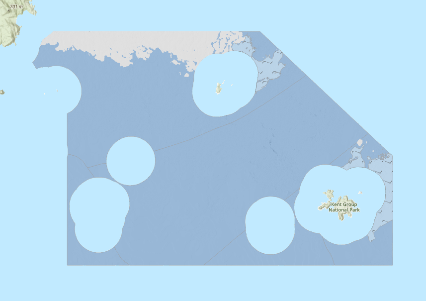
This ESRI map (web) service contains geospatial seabed morphology and geomorphology information for Cairns Seamount within the Coral Sea Marine Park and are intended for use by marine park managers, regulators, the general public and other stakeholders. This web service uses the data product published in McNeil et al. (2023); eCat Record 147998.
-
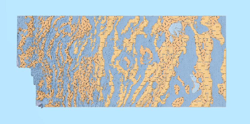
This ESRI map (web) service contains geospatial seabed morphology and geomorphology information for the Beagle Marine Park (South-east Marine Parks Network) and is intended for use by marine park managers, regulators and other stakeholders. This web service uses the data product published in Nanson et al. (2023); eCat Record 147976.
-
This ESRI map (web) service contains seabed morphology and geomorphology information for a subset area of Zeehan Marine Park (South-east Marine Parks Network) and is intended for use by marine park managers, regulators and other stakeholders. This web service uses the data product published in McNeil et al. (2023); eCat Record 148620.