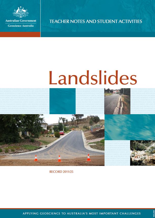
landslides
Type of resources
Keywords
Publication year
Scale
Topics
-
An analysis defining potential landslide hazard over a 650 km2 region of southeast Queensland, Australia is presented. Attributes of geology, slope, aspect, morphology, curvature and vegetation were de-termined for the study area at a 5 m pixel resolution within a GIS environment. A decision tree analysis was employed to gather attribute values from landslides mapped following the 25-28th January 1974 rainfall event and to use this data as training for the prediction of further areas of potential instability. Application of a deci-sion tree analysis creates rulesets of the most ?informative? attributes that define areas of landslide potential as well as attributes that define areas of little landslide potential. The rulesets were then imported back into a GIS environment where they were located spatially. Field checking indicates that the predictions for further areas of potential landslide activity within this region are intuitively sound. It is envisaged that this research will prove beneficial to managers and land use planners involved in regional assessments.
-
In the following discussion the term 'landslides' is used in a very broad sense to include rock falls, topples, flows of solid material and slow movements of a few tens of centimeters per year.
-
Natural hazards have an impact on every Australian State and Territory. These hazards include bushfires, cyclones, earthquakes, floods, landslides, severe weather, tsunami and volcanoes. These phenomena threaten lives and damage private and public assets, as well as disrupt water, power, transport and communication services. These hazards and their associated impacts also can seriously affect employment, public administration and incomes to industry, agriculture and commerce.
-
This set of 15 Australian landslide images on CD-ROM with accompanying explanatory text illustrates the causes of landslides and other earth movements. Learn how people contribute to creating and mitigating such events. Landslide images include Thredbo, NSW, Sorrento Vic., Gracetown WA and Tasmania. Suitable for secondary level Years 7-12.
-
<p><b>Taken down from public access 30/01/2020 On advice from Jane Sexton.</b> <p>Colour brochure about landslide awareness and what to do in unstable areas.
-
Landslide in Australia, for the most part, is not seen as a major threat to our urban communities. However, this general belief is far from the reality of the situation. Our history of landsliding is highlighted with devastating events such: <li>Thredbo landslide, July 1997; 18 people killed</li> <li>Gracetown cliff collapse, September 1996; 9 people killed.</li> In Australia, there have been 37 recorded fatal landslides since 1842, which have been responsible for the deaths of 83 people. It is almost certain that these statistics are incomplete and that the number of fatalities is much higher. The city of Wollongong is on Australia's east coast, approximately 80 km south of Sydney. Today, Wollongong has one of the highest population growth rates in NSW. Since 1887, 478 landslides have been recorded at Wollongong, at least two people have been killed, more than 200 buildings destroyed or damaged and there is constant disruption to infrastructure and services. It is estimated that between 1989 and 1996, the cost of landsliding to railway infrastructure alone in Wollongong was A$25 million annually. Extensive areas of the Wollongong hinterland are prone to landsliding from heavy rainfall events, as demonstrated by the August 1998 storms. During this event, 148 landslides were reported and access to the city was cut by landslides and floodwaters for up to 24 hours. It is estimated that up to A$100 million dollars damage resulted.
-
Landslides are one of Australia's most dangerous natural hazards and result from a mass movement of material down a slope or cliff face. This 50 page booklet explains the nature of landslides and gives examples of various historical landslides that have occurred in Australia. Student activities with answers included. Suitable for upper primary and high school teachers.
-
This database allows users to search for - naturally-occurring landslides - landslides with a significant human contribution or directly triggered by humans,- flood events causing significant erosion, and - flash flood events involving mud or debris - which have been recorded by Geoscience Australia and contributing scientific organisations and returns these landslide and flood events along with their associated data. - Human-triggered landslides include events such as sand collapses caused by children digging holes or tunnels, boulders displaced by climbers, rock ledges breaking off when a person stands or sits on them, and collapses caused by excavation. Landslides are often called landslips and the terms are interchangeable. Last updated June 2018
-
A number of different landslide inventories exist within Australia, and each uniquely addresses a specific purpose. These databases range in scale and detail, and although some similarities and a number of common themes are apparent between databases, the method in which information is organised and described varies considerably. This means information cannot be readily compared or aggregated with other sources and it is possible there is already duplication of effort in this area.
-
The cost of landslide is underestimated in Australia because the impact and loss associated with these events are not readily reported or captured. There is no reliable source of data which highlights landslide cost to communities and explains who currently pays for the impacts and associated costs. The aim of this document is to investigate and analyse landslide costs within a Local Government Area (LGA) in order to highlight the varied landslide associated costs met by the local government, state traffic and rail authorities and the public. It is anticipated this may assist in developing a baseline awareness of the range of landslide costs that are experienced at a local level in Australia. Local government authorities across Australia are required to manage and mitigate landslide hazards. The Illawarra region of New South Wales (NSW) is one example of an area in Australia continuously affected by slope failure, often resulting in damage to property or infrastructure as well as occasional injuries and fatalities. Landslide losses are described for the region of Wollongong in NSW using a series of case studies to highlight the different types of landslide cost met by different parties, the variations in the landslide types that occur and the different cost components arising from them. This approach was chosen due to variations across the quality, availability and consistency of data. It was found that many generic natural hazard cost models are inappropriate for determining landslide costs because of the differences in the types of landslide movement and damage. Further work is recommended to develop a cost data model suitable for capturing consistent landslide cost data. Better quantification of landslide cost is essential to allow comparisons to be made with other natural hazard events at appropriate levels. This may allow for more informed policy development and decision making across all levels.