Drilling
Type of resources
Keywords
Publication year
Topics
-
Drilling in the Geoscience Australia Exploring for the Future East Tennant project was conducted as part of the MinEx CRC National Drilling Initiative. Ten stratigraphic boreholes were drilled for scientific purposes in the region around the Barkly Roadhouse in the Northern Territory. Where possible, the boreholes were comprehensively wireline logged to obtain petrophysical data on the cover and basement rocks to help improve knowledge and geophysical models of the region. Formation density data obtained by wireline logging were validated using laboratory-based bulk density data obtained by Archimedes method on diamond drill core samples at Geoscience Australia. Results of the validation show that wireline-logged formation density data and Archimedes wet bulk density data are in good general agreement in the first five boreholes drilled (NDIBK01, NDIBK02, NDIBK03, NDIBK04 and NDIBK05). Difficult drilling and some lost drilling equipment meant that boreholes NDIBK06, NDIBK07 and NDIBK09 could not be cased properly, or could not be re-entered, and thus formation density wireline logs could not be obtained in these holes. Boreholes NDIBK08 and NDIBK10 were wireline logged, however formation density results from these last two holes were problematic. Wireline formation density results for borehole NDIBK08 are shown to be too high due to miscalibration of the wireline formation density tool, and results from borehole NDIBK10 cannot be robustly assessed because of a lack of sufficient Archimedes bulk density data needed to provide statistical relevance and validate the wireline formation density data.
-
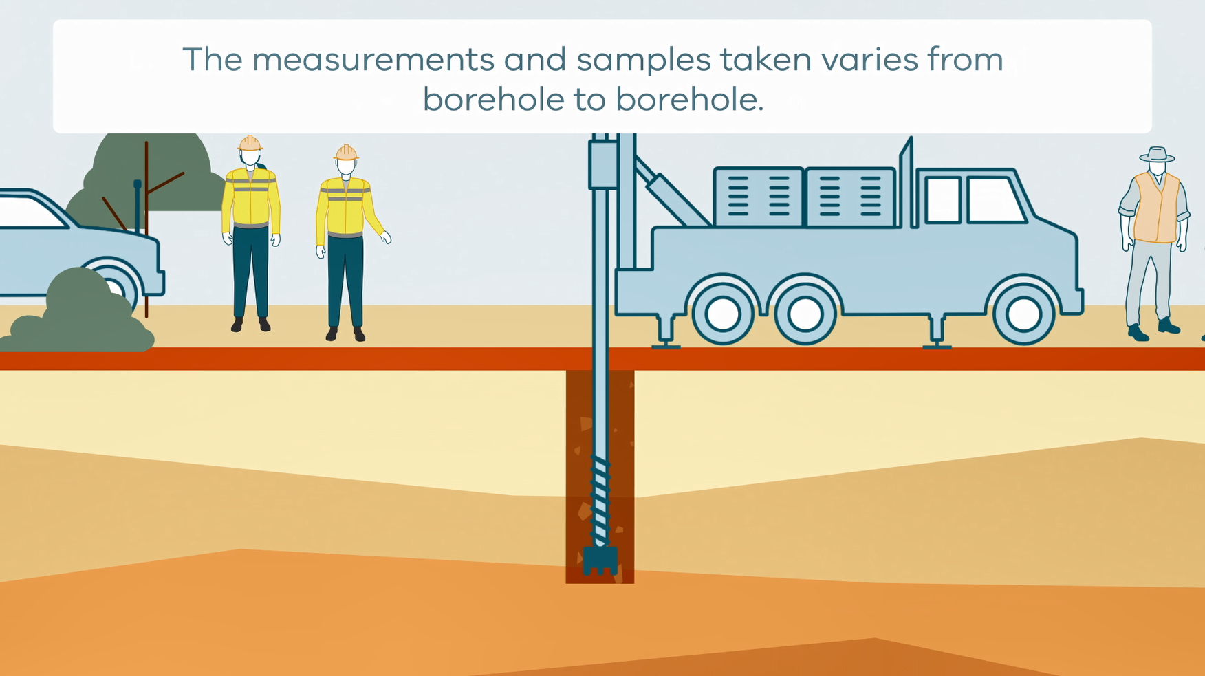
This animation shows how stratigraphic drilling is conducted. It is part of a series of Field Activity Technique Engagement Animations. The target audience are the communities that are impacted by GA's data acquisition activities. There is no sound or voice over. The 2D animation includes a simplified view of what stratigraphic drilling looks like, what measurements and samples are taken, and how scientists use the data.
-
Data accompanying the GA Record Regional geology and mineral systems of the Stavely region, western Victoria. Data release 6 - Pre-drilling geophysics. Prior to stratigraphic drilling, existing airborne magnetic data were analysed and new refraction seismic, reflection seismic and gravity data were acquired as part of a pre-drilling geophysical acquisition program. The aim of this geophysical program was to provide cover thickness estimates at the drill site locations prior to the drilling program commencing, in order to reduce the geological and financial risk. Passive seismic data were acquired post-drilling for benchmarking with the other methods against the completed drilling in order to assess a potential tool kit of geophysical methods for the explorer to predict reliably the cover thickness at the tenement scale. This is the first study where multiple geophysical methods are applied to the same site and where full drill core, downhole wireline logging and hyperspectral (HyLogger) data are freely available.