porosity
Type of resources
Keywords
Publication year
Service types
Topics
-
This data package, completed as part of Geoscience Australia’s National Groundwater Systems (NGS) Project, presents results of the second iteration of the 3D Great Artesian Basin (GAB) and Lake Eyre Basin (LEB) (Figure 1) geological and hydrogeological models (Vizy & Rollet, 2023) populated with volume of shale (Vshale) values calculated on 2,310 wells in the Surat, Eromanga, Carpentaria and Lake Eyre basins (Norton & Rollet, 2023). This provides a refined architecture of aquifer and aquitard geometry that can be used as a proxy for internal, lateral, and vertical, variability of rock properties within each of the 18 GAB-LEB hydrogeological units (Figure 2). These data compilations and information are brought to a common national standard to help improve hydrogeological conceptualisation of groundwater systems across multiple jurisdictions. This information will assist water managers to support responsible groundwater management and secure groundwater into the future. This 3D Vshale model of the GAB provides a common framework for further data integration with other disciplines, industry, academics and the public and helps assess the impact of water use and climate change. It aids in mapping current groundwater knowledge at a GAB-wide scale and identifying critical groundwater areas for long-term monitoring. The NGS project is part of the Exploring for the Future (EFTF) program—an eight-year, $225 million Australian Government funded geoscience data and precompetitive information acquisition program. The program seeks to inform decision-making by government, community, and industry on the sustainable development of Australia's mineral, energy, and groundwater resources, including those to support the effective long-term management of GAB water resources. This work builds on the first iteration completed as part of the Great Artesian Basin Groundwater project (Vizy & Rollet, 2022; Rollet et al., 2022), and infills previous data and knowledge gaps in the GAB and LEB with additional borehole, airborne electromagnetic and seismic interpretation. The Vshale values calculated on additional wells in the southern Surat and southern Eromanga basins and in the whole of Carpentaria and Lake Eyre basins provide higher resolution facies variability estimates from the distribution of generalised sand-shale ratio across the 18 GAB-LEB hydrogeological units. The data reveals a complex mixture of sedimentary environments in the GAB, and highlights sand body development and hydraulic characteristics within aquifers and aquitards. Understanding the regional extents of these sand-rich areas provides insights into potential preferential flow paths, within and between the GAB and LEB, and aquifer compartmentalisation. However, there are limitations that require further study, including data gaps and the need to integrate petrophysics and hydrogeological data. Incorporating major faults and other structures would also enhance our understanding of fluid flow pathways. The revised Vshale model, incorporating additional boreholes to a total of 2,310 boreholes, contributes to our understanding of groundwater flow and connectivity in the region, from the recharge beds to discharge at springs, and Groundwater Dependant Ecosystems (GDEs). It also facilitates interbasinal connectivity analysis. This 3D Vshale model offers a consistent framework for integrating data from various sources, allowing for the assessment of water use impacts and climate change at different scales. It can be used to map groundwater knowledge across the GAB and identify areas that require long-term monitoring. Additionally, the distribution of boreholes with gamma ray logs used for the Vshale work in each GAB and LEB units (Norton & Rollet, 2022; 2023) is used to highlight areas where additional data acquisition or interpretation is needed in data-poor areas within the GAB and LEB units. The second iteration of surfaces with additional Vshale calculation data points provides more confidence in the distribution of sand bodies at the whole GAB scale. The current model highlights that the main Precipice, Hutton, Adori-Springbok and Cadna-owie‒Hooray aquifers are relatively well connected within their respective extents, particularly the Precipice and Hutton Sandstone aquifers and equivalents. The Bungil Formation, the Mooga Sandstone and the Gubberamunda Sandstone are partial and regional aquifers, which are restricted to the Surat Basin. These are time equivalents to the Cadna-owie–Hooray major aquifer system that extends across the Eromanga Basin, as well as the Gilbert River Formation and Eulo Queen Group which are important aquifers onshore in the Carpentaria Basin. The current iteration of the Vshale model confirms that the Cadna-owie–Hooray and time equivalent units form a major aquifer system that spreads across the whole GAB. It consists of sand bodies within multiple channel belts that have varying degrees of connectivity' i.e. being a channelised system some of the sands will be encased within overbank deposits and isolated, while others will be stacked, cross-cutting systems that provide vertical connectivity. The channelised systemtransitions vertically and laterally into a shallow marine environment (Rollet et al., 2022). Sand-rich areas are also mapped within the main Poolowanna, Brikhead-Walloon and Westbourne interbasinal aquitards, as well as the regional Rolling Downs aquitard that may provide some potential pathways for upward leakage of groundwater to the shallow Winton-Mackunda aquifer and overlying Lake Eyre Basin. Further integration with hydrochemical data may help groundtruth some of these observations. This metadata document is associated with a data package including: • Seventeen surfaces with Vshale property (Table 1), • Seventeen surfaces with less than 40% Vshale property (Table 2), • Twenty isochore with average Vshale property (Table 3), • Twenty isochore with less than 40% Vshale property (Table 4), • Sixteen Average Vshale intersections of less than 40% Vshale property delineating potential connectivity between isochore (Table 5), • Sixteen Average Vshale intersections of less than 40% Vshale property delineating potential connectivity with isochore above and below (Table 6), • Seventeen upscaled Vshale log intersection locations (Table 7), • Six regional sections showing geology and Vshale property (Table 8), • Three datasets with location of boreholes, sections, and area of interest (Table 9).
-
The Proterozoic succession in the NDI Carrara 1 drill hole, Northern Territory, consists predominantly of tight shales, siltstones, and calcareous clastic rocks. As part of Geoscience Australia’s Exploring for the Future program, this study aims to derive porosity, permeability and gas content from both laboratory testing and well log interpretation from machine learning approaches, to improve the Proterozoic shale gas reservoir characterisation. The Proterozoic Lawn Hill Formation was divided into four chemostratigraphic packages. The middle two packages were further divided into seven internal units according to principal component analysis and self-organising map clustering on well logs and inorganic geochemical properties. Artificial neural networks were then applied to interpret the mineral compositions, porosity and permeability from well logs, density and neutron-density crossplot interpretations. Gas content was estimated from the interpreted porosity, gas saturation, total organic carbon and clay contents. Petrophysical interpretation results are summarised for all chemostratigraphic packages and units. Package 2 (1116–1430.1 m) has the highest potential among the four chemostratigraphic packages. P2U1 (1116–1271 m) and P2U3 (1335.5–1430.1 m) units have the most favourable petrophysical properties for organic-rich shales with the average total gas contents of 1.25 cm3/g and 1.30 cm3/g, geometric mean permeability of 4.79 µD and 17.56 µD, and net shale thickness of 54.4 m and 85.3 m, respectively. P3U4 unit (687.9–697.9 m) has high gas content and permeability, with the net shale thickness of 29.1 m. Besides the organic-rich shales, the tight non-organic-rich siltstone and shale reservoirs in package 1 (below 1430.1 m) have average gas saturation of 14% and geometric mean permeability of 1.31 µD, respectively. Published in The APPEA Journal 2023. <b>Citation:</b> Wang Liuqi, Bailey Adam H. E., Grosjean Emmanuelle, Carson Chris, Carr Lidena K., Butcher Grace, Boreham Christopher J., Dewhurst Dave, Esteban Lionel, Southby Chris, Henson Paul A. (2023) Petrophysical interpretation and reservoir characterisation on Proterozoic shales in National Drilling Initiative Carrara 1, Northern Territory. <i>The APPEA Journal</i><b> 63</b>, 230-246. https://doi.org/10.1071/AJ22049
-
The Neoproterozoic–Paleozoic Officer Basin, located in South Australia and Western Australia, remains a frontier basin for energy exploration with significant uncertainty due to a paucity of data. As part of Geoscience Australia’s Exploring for the Future (EFTF) program, the objective of this study is to derive the petrophysical properties and characterise potential reservoirs in the Neoproterozoic–Cambrian sedimentary succession in the Officer Basin through laboratory testing, and well log interpretation using both conventional and neural network methods. Laboratory measurements of forty-one legacy core samples provide the relationships between gas permeability, Klinkenberg corrected permeability, and nano-scale permeability, as well as grain density, effective and total porosity for various rock types. Conventional log interpretation generates the volume fraction of shale, effective and total porosity from gamma ray and lithology logs. Self-organising map (SOM) was used to cluster the well log data to generate petrophysical group/class index and probability profiles for different classes. Neural network technology was employed to approximate porosity and permeability from logs, conventional interpretation results and class index from SOM modelling. The Neoproterozoic-Cambrian successions have the potential to host both conventional and tight hydrocarbon reservoirs. Neoproterozoic successions are demonstrated to host mainly tight reservoirs with the range in average porosity and geometric mean permeability of 4.77%-6.39% and 0.00087-0.01307 mD, respectively, in the different sequences. The range in average porosity and geometric mean permeability of the potential Cambrian conventional reservoirs is 14.54%-26.38% and 0.341-103.68 mD, respectively. The Neoproterozoic shales have favourable sealing capacities. This work updates the knowledge of rock properties to further the evaluation of the resource potential of the Officer Basin. Published in The APPEA Journal 2022 <b>Citation:</b> Wang Liuqi, Bailey Adam H. E., Carr Lidena K., Edwards Dianne S., Khider Kamal, Anderson Jade, Boreham Christopher J., Southby Chris, Dewhurst David N., Esteban Lionel, Munday Stuart, Henson Paul A. (2022) Petrophysical characterisation of the Neoproterozoic and Cambrian successions in the Officer Basin. <i>The APPEA Journal</i><b> 62</b>, 381-399. https://doi.org/10.1071/AJ21076
-
<div>This data package provides petrophysical interpretations by Geoscience Australian and the South Australia Department for Energy and Mining (SADEM) for 23 wells generated in support of the energy resource assessments under the Australia’s Future Energy Resources (AFER) project in the Pedirka and western Eromanga basins. Interpreted petrophysical data in this data package include [BB1] [MB2] volume of clay/shale, porosity (total and effective), relative permeability, formation water salinity (NaCl equivalent), and apparent resistivity of water.</div><div> </div><div>The AFER project is part of Geoscience Australia’s Exploring for the Future (EFTF) Program—an eight year, $225 million Australian Government funded geoscience data and precompetitive information acquisition program to inform decision-making by government, community and industry on the sustainable development of Australia's mineral, energy and groundwater resources. By gathering, analysing and interpreting new and existing precompetitive geoscience data and knowledge, Geoscience Australia is building a national picture of Australia’s geology and resource potential. This will help support a strong economy, resilient society and sustainable environment for the benefit of all Australians. The EFTF program is supporting Australia’s transition to a low emissions economy, industry and agriculture sectors, as well as economic opportunities and social benefits for Australia’s regional and remote communities. Further details are available at http://www.ga.gov.au/eftf.This new data package consists of composite logs and supporting data which includes interpreted volume of clay/ shale, porosity, permeability and salinity.</div><div> </div><div>The data package includes the following datasets: </div><div>1) Composite logs (PDF)</div><div>2) Well logs (ASCII LAS)</div><div>3) Well header information (Microsoft Excel™)[BB3] [MB4] </div><div> </div><div>These petrophysical interpretations are being used to support the AFER Project’s play-based energy resource assessments in the Pedirka and western Eromanga basins by building 3D geological models that include derived rock property maps.
-
This OGC WMS web service (generated by Geoserver) serves data from the Geoscience Australia Rock Properties database. The database stores the results of measurements of physical properties of rock and regolith specimens, including such properties as mass density, magnetic susceptibility, magnetic remanence and electrical conductivity. The database also records analytical process information such as method and instrument details where possible.
-
Exploring for the Future (EFTF) is an Australian Government initiative focused on gathering new data and information about potential mineral, energy and groundwater resources across northern Australia. This area is generally under-explored and offers enormous potential for industry development, as it is advantageously located close to major global markets, infrastructure and hosts many prospective regions. In June 2020, the Hon Keith Pitt MP, Minister for Resources, Water and Northern Australia, announced a four year extension to this program with an expansion in scope to cover the whole of Australia. The energy component of EFTF aims to improve our understanding of the petroleum potential of frontier Australian basins. Building an understanding of geomechanical rock properties is key to understanding both conventional and unconventional petroleum systems as well as carbon storage and sedimentary geothermal systems. Under EFTF, Geoscience Australia has undertaken geomechanical work including stress modelling, shale brittleness studies, and the acquisition of new rock property data through extensive testing on samples from the Paleo- to Mesoproterozoic South Nicholson region of Queensland and the Northern Territory and the Paleozoic Kidson Sub-basin of Western Australia. These analyses are summarised herein. Providing baseline geomechanical data in frontier basins is essential as legacy data coverage can often be inadequate for making investment decisions, particularly where unconventional plays are a primary exploration target. As EFTF increases in scope, Geoscience Australia anticipates expanding these studies to encompass further underexplored regions throughout Australia, lowering the barrier to entry and encouraging greenfield exploration. <b>Citation:</b> Bailey Adam H. E., Jarrett Amber J. M., Wang Liuqi, Dewhurst David N., Esteban Lionel, Kager Shane, Monmusson Ludwig, Carr Lidena K., Henson Paul A. (2021) Exploring for the Future geomechanics: breaking down barriers to exploration. <i>The APPEA Journal </i><b>61</b>, 579-587. https://doi.org/10.1071/AJ20039
-
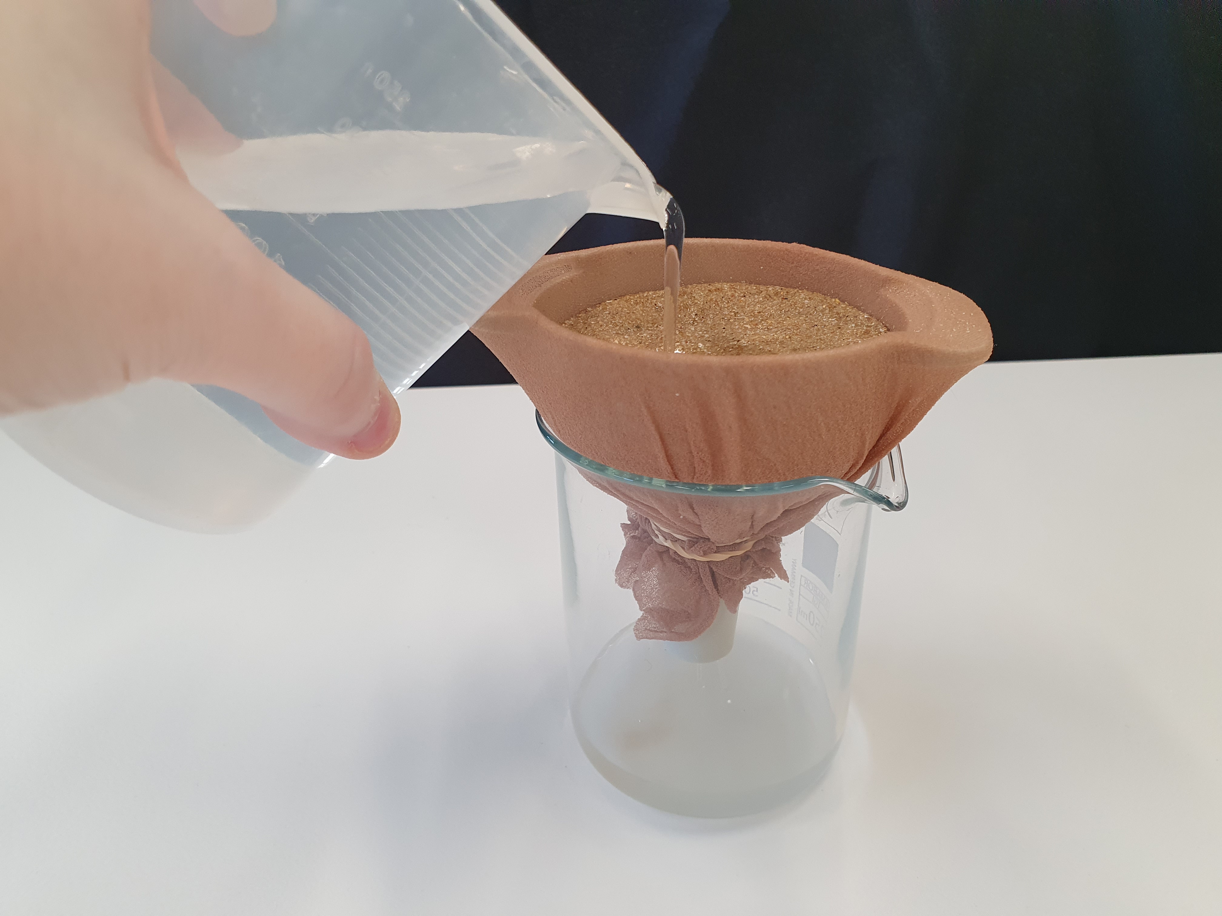
<div>This document describes a series of experiments that grow student understanding of the concepts on porosity and permeability as it relates to groundwater. Sediments are used to substitute for sedimentary rocks and water movement through different types of sediment is evaluated. The document is split into two sections, background information for teachers and a 3 part experiment with activity sheet for students. The activities are suitable for use with secondary to senior secondary science and geography students.</div>
-
The Geoscience Australia Rock Properties database stores the results measurements of scalar and vector petrophysical properties of rock and regolith specimens. Many are sourced from Geoscience Australia's mapping and research programs, but some are are compiled from published literature, university studies, the resources industry and State/Territory geological surveys. Measured properties include mass density, magnetic susceptibility, magnetic remanence, gamma, electrical conductivity and sonic velocity. The database also records analytical process information such as methods and instrument details wherever possible.
-
This OGC WFS web service (generated by Geoserver) serves data from the Geoscience Australia Rock Properties database. The database stores the results of measurements of physical properties of rock and regolith specimens, including such properties as mass density, magnetic susceptibility, magnetic remanence and electrical conductivity. The database also records analytical process information such as method and instrument details where possible.