Groundwater hydrology
Type of resources
Keywords
Publication year
Topics
-
<div>This report brings together data and information relevant to understanding the regional geology, hydrogeology, and groundwater systems of the South Nicholson – Georgina (SNG) region in the Northern Territory and Queensland. This integrated, basin-scale hydrogeological assessment is part of Geoscience Australia’s National Groundwater Systems project in the Exploring for the Future program. While the northern Georgina Basin has been at the centre of recent investigations as part of studies into the underlying Beetaloo Sub-basin, no regional groundwater assessments have focused on central and southern parts of the Georgina Basin since the 1970s. Similarly, there has been no regional-scale hydrogeological investigation of the deeper South Nicholson Basin, although the paucity of groundwater data limited detailed assessment of the hydrogeology of this basin. This comprehensive desktop study has integrated numerous geoscience and hydrogeological datasets to develop a new whole-of-basin conceptualisation of groundwater flow systems and recharge and discharge processes within the regional unconfined aquifers of the Georgina Basin.</div><div><br></div><div>Key outputs arising from this study include: (1) the development of a hydrostratigraphic framework for the region, incorporating improved aquifer attribution for over 5,000 bores; and (2) publicly available basin-scale groundwater GIS data layers and maps, including a regional watertable map for the whole Georgina Basin. This regional assessment provides new insights into the hydrogeological characteristics and groundwater flow dynamics within the Georgina Basin, which can aid in the sustainable management of groundwater for current and future users reliant on this critical water resource.</div><div><br></div><div><br></div>
-
<div>GeoInsight was an 18-month pilot project developed in the latter part of Geoscience Australia’s Exploring for the Future Program (2016–2024). The aim of this pilot was to develop a new approach to communicating geological information to non-technical audiences, that is, non-geoscience professionals. The pilot was developed using a human-centred design approach in which user needs were forefront considerations. Interviews and testing found that users wanted a simple and fast, plain-language experience which provided basic information and provided pathways for further research. GeoInsight’s vision is to be an accessible experience that curates information and data from across the Geoscience Australia digital ecosystem, helping users make decisions and refine their research approach, quickly and confidently. </div><div><br></div><div>In the first iteration of GeoInsight, selected products for energy, minerals, water, and complementary information from Geoscience Australia’s Data Discovery Portal and Data and Publications Catalogue were examined to (1) gauge the relevance of the information they contain for non-geoscientists and, (2) determine how best to deliver this information for effective use by non-technical audiences. </div><div><br></div><div>This Record documents the technical details of the methods used for summarising groundwater information for GeoInsight, including groundwater reliance, depth, salinity, and uses. This Record will be updated, including a change log, when the scope of information or methods for generating the data change.</div>
-
<div>Aboriginal and Torres Strait Islander peoples hold a wealth of traditional knowledge about their land and waters gathered and passed down from observations over thousands of years. Geoscience Australia (GA) is the national geoscience public sector organisation that advises on the geology, hydrogeology, and geography of Australia by applying science and technology to describe and understand the Earth. Respectful and successful two-way engagement with Indigenous peoples provides an opportunity to identify and share traditional understanding, complementing geoscientific studies and preserving traditional knowledge Through its Innovate Reconciliation Action Plan, GA is committed to building mutually beneficial relationships with Aboriginal and Torres Strait Islander peoples. Aligned with this vision, and as part of the Exploring for the Future Program, GA engaged a subject matter expert to undertake a scoping study. The aim of this study was to provide advice to strengthen the internal processes it uses to engage and undertake projects with Indigenous peoples. Drawing on two case studies (northeast NSW; eastern WA), a framework was developed to guide GA staff in the collection and recording of information and knowledge in a culturally appropriate manner. The project also delivered a road map to achieve better engagement and inclusion of Indigenous peoples in geoscience studies, to be tested and refined in future work programs. The road map is built on six key elements: (1) increasing Indigenous employment; (2) building partnerships; (3) respecting timeframes; (4) embedding Indigenous values and culture; (5) adhering to ethical practices and principles; and (6) embracing two-way knowledge sharing. Trust is crucial to building a partnership with Indigenous communities, binding the six elements of the road map. In the future GA hopes to share the outcomes with other organisations, from applying the framework and road map aimed at improving engagement with Indigenous peoples in groundwater activities and the geosciences more broadly. Presented at the 2022 Australasian Groundwater Conference (AGC)
-
<div>The Lake Eyre surface water catchment covers around 1,200,000 km2 of central Australia, about one-sixth of the entire continent. It is one of the largest endorheic river basins in the world and contains iconic arid streams such as the Diamantina, Finke and Georgina rivers, and Cooper Creek. The Lake Eyre region supports diverse native fauna and flora, including nationally significant groundwater-dependent ecosystems such as springs and wetlands which are important cultural sites for Aboriginal Australians.</div><div><br></div><div>Much of the Lake Eyre catchment is underlain by the geological Lake Eyre Basin (LEB). The LEB includes major sedimentary depocentres such as the Tirari and Callabonna sub-basins which have been active sites of deposition throughout the Cenozoic. The stratigraphy of the LEB is dominated by the Eyre, Namba and Etadunna formations, as well as overlying Pliocene to Quaternary sediments.</div><div><br></div><div>The National Groundwater Systems Project, part of Geoscience Australia's Exploring for the Future Program (https://www.eftf.ga.gov.au/), is transforming our understanding of the nation's major aquifer systems. With an initial focus on the Lake Eyre Basin, we have applied an integrated geoscience systems approach to model the basin's regional stratigraphy and geological architecture. This analysis has significantly improved understanding of the extent and thickness of the main stratigraphic units, leading to new insights into the conceptualisation of aquifer systems in the LEB.</div><div><br></div><div>Developing the new understanding of the LEB involved compilation and standardisation of data acquired from thousands of petroleum, minerals and groundwater bores. This enabled consistent stratigraphic analysis of the major geological surfaces across all state and territory boundaries. In places, the new borehole dataset was integrated with biostratigraphic and petrophysical data, as well as airborne electromagnetic (AEM) data acquired through AusAEM (https://www.eftf.ga.gov.au/ausaem). The analysis and integration of diverse geoscience datasets helped to better constrain the key stratigraphic horizons and improved our overall confidence in the geological interpretations.</div><div><br></div><div>The new geological modelling of the LEB has highlighted the diverse sedimentary history of the basin and provided insights into the influence of geological structures on modern groundwater flow systems. Our work has refined the margins of the key depocentres of the Callabonna and Tirari sub-basins, and shown that their sediment sequences are up to 400 m thick. We have also revised maximum thickness estimates for the main units of the Eyre Formation (185 m), Namba Formation (265 m) and Etadunna Formation (180 m).</div><div><br></div><div>The geometry, distribution and thickness of sediments in the LEB is influenced by geological structures. Many structural features at or near surface are related to deeper structures that can be traced into the underlying Eromanga and Cooper basins. The occurrence of neotectonic features, coupled with insights from geomorphological studies, implies that structural deformation continues to influence the evolution of the basin. Structures also affect the hydrogeology of the LEB, particularly by compartmentalising groundwater flow systems in some areas. For example, the shallow groundwater system of the Cooper Creek floodplain is likely segregated from groundwater in the nearby Callabonna Sub-basin due to structural highs in the underlying Eromanga Basin.</div><div> Abstract submitted and presented at the 2023 Australian Earth Science Convention (AESC), Perth WA (https://2023.aegc.com.au/)
-
<div>The Darling River is the primary water source for communities on the Upper Darling River Floodplain (UDF) in arid northwest New South Wales. A 70% reduction in mean annual flow down the Darling over the past 80 years, due to droughts and over-extraction, has resulted in critical water shortages and water quality issues for communities and ecosystems. Presently there is a limited understanding of the spatial extent and controls on the occurrence of lower salinity groundwater within the surrounding Darling Alluvium; a possible alternative water source that is also important to groundwater-dependent ecosystems.</div><div> </div><div>The UDF project, part of the Australian Government’s Exploring for the Future program is working in collaboration with State partners to collect and integrate new data with existing hydrogeological knowledge. The project aims to improve the hydrogeological understanding of the region to help inform water management decisions and increase water security. A key focus of the project is the Darling Alluvium (DA)—a closed regional groundwater system comprising unconsolidated Cenozoic sediments deposited primarily by the paleo and current Darling River systems and their tributaries. Connectivity with aquifers of varying quality, within the underlying Murray and Great Artesian Basins, is also being investigated. </div><div> </div><div>Integration of airborne electromagnetic (AEM), hydrometric and hydrochemical data with lithology logs and geological maps has revealed a broad trend in groundwater–surface water dynamics. In the upper reaches of the floodplain systems appear to be disconnected, while in the lower reaches losing stream conditions prevail. In the losing stream setting, resistive AEM signatures, at depths of up to 60 m below ground level and extending laterally for several hundred metres from the river, indicate a hydraulic gradient away from the river. Low salinity groundwater measured in shallow bores suggest the potential for a significant quality groundwater resource. Further investigations will improve confidence in the geometry of fresh water zones, recharge rates, connectivity with underlying saline aquifers and relationships with groundwater-dependent ecosystems. </div><div><br></div>This Abstract was submitted/presented to the 2022 Australasian Groundwater Conference 21-23 November (https://www.aig.org.au/events/australasian-groundwater-conference-2022/)
-
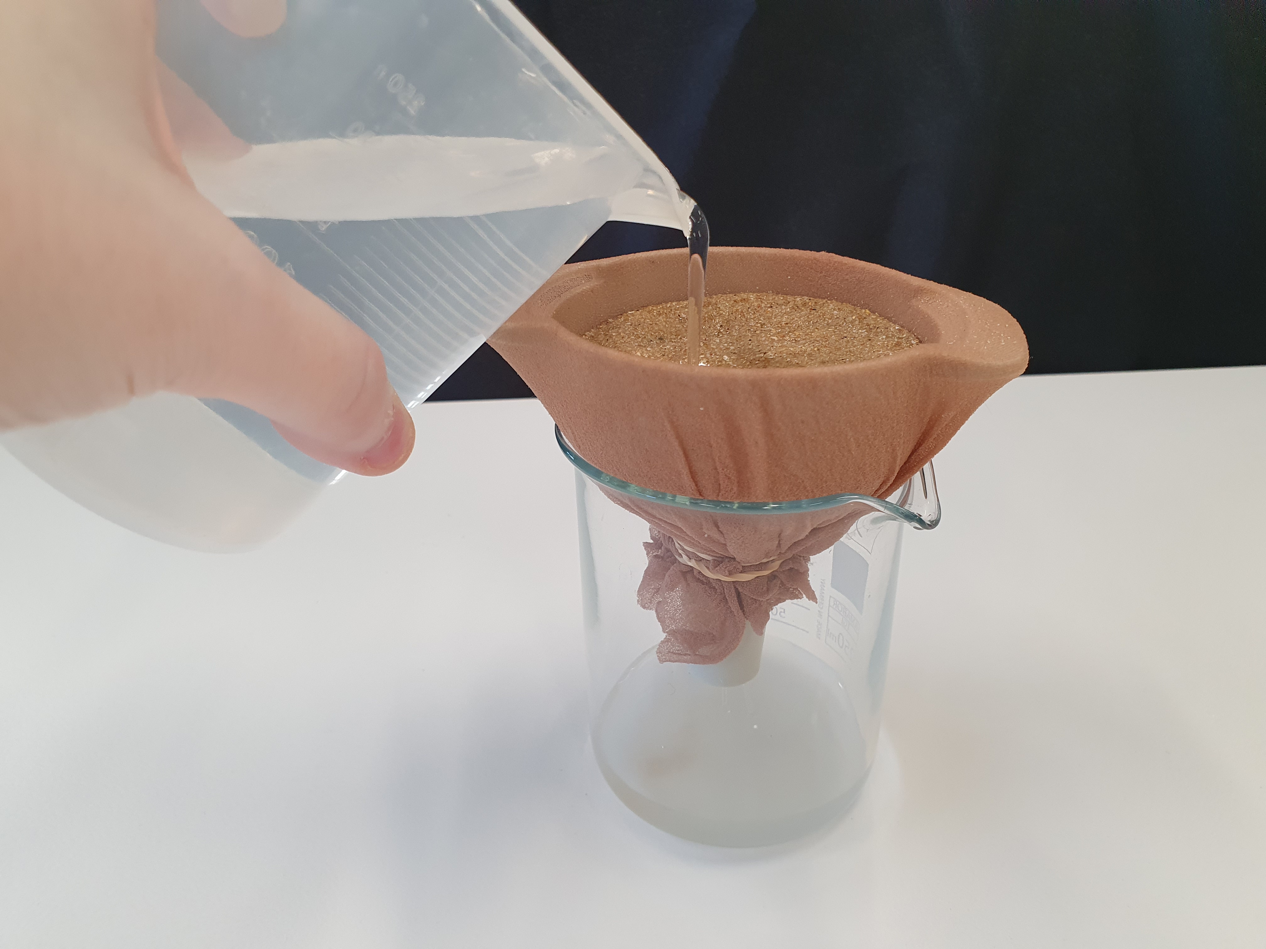
<div>This document describes a series of experiments that grow student understanding of the concepts on porosity and permeability as it relates to groundwater. Sediments are used to substitute for sedimentary rocks and water movement through different types of sediment is evaluated. The document is split into two sections, background information for teachers and a 3 part experiment with activity sheet for students. The activities are suitable for use with secondary to senior secondary science and geography students.</div>
-
<div>The Australian Government's Trusted Environmental and Geological Information program is a collaboration between Geoscience Australia and CSIRO. Part of this program includes baseline geological and environmental assessments. </div><div> Hydrogeological information has been collated for the Adavale, Cooper, Galilee and north Bowen basins and overlying basins, including the Eromanga and Lake Eyre basins. This information will provide a regionally-consistent baseline dataset that will be used to develop groundwater conceptualisation models.</div><div> Publicly-available data within these basin regions have been compiled from over 30 000 boreholes, 120 stream gauges, and 1100 rainfall stations, resulting in revised hydrostratigraphic frameworks. From the published literature, 14 major hydrostratigraphic units are recognised within the basin regions. For each of these major hydrostratigraphic units, we determined the salinity, Darcian yield, specific yield/storativity, groundwater reserve volume for unallocated groundwater, groundwater levels/hydrological pressure, likelihood of inter-aquifer connectivity, rainfall, connectivity between surface water and groundwater, and water-use volume statistics, where relevant, for each basin, hydrogeological province and aquifer. We then adopted a play-based approach to develop holistic hydrostratigraphic conceptualisations of the basin regions. </div><div> Within the Adavale Basin we have defined a new hydrogeological province including two new aquifers defined as the moderate salinity and moderately overpressured Buckabie-Etonvale Aquifer, and the hypersaline and hyper-overpressured Lissoy-Log Creek-Eastwood Aquifer. Similarities between the upper Buckabie-Etonvale Aquifer of the Adavale Basin and lowermost Joe Joe Group of the Galilee Basin suggests connectivity between the upper Adavale and lower Galilee basins. Hydraulic pressures (up to 1500 m of excess freshwater head) calculated for the Lissoy–Log Creek–Eastwood Aquifer indicate that if the aquifer was to be breached, there is potential localised risk to overlying aquifers and surface environments, including infrastructure.</div><div><br></div><div><strong>Author Biography:</strong></div><div>Dr. Chris Gouramanis is a hydrogeologist working in the Trusted Environmental and Geological Information program, in the Minerals, Energy and Groundwater Division of Geoscience Australia. Chris was awarded his PhD from The Australian National University in 2009 and has held several water and environmental policy positions within the Australian Government. He worked for 10 years as an academic at the Earth Observatory of Singapore and the Geography Department at the National University of Singapore. He is also Australia’s National Focal Point to the Scientific and Technical Review Panel of the Ramsar Convention on Wetlands.</div><div><br></div>This Abstract was submitted/presented to the 2022 Australasian Groundwater Conference 21-23 November (https://agc2022.com.au/)
-
Groundwater is critical to Australia’s future economic development and is the only reliable water source for many regional and rural communities. It also sustains environmental and cultural assets including springs and groundwater-dependent ecosystems. The demand for groundwater in Australia is expected to increase with population growth, economic development and climate change. Geoscience Australia, in partnership with Commonwealth, State and Territory governments is delivering national and regional groundwater investigations through the Exploring for the Future (EFTF) Program to support water management decisions. Geoscience Australia’s groundwater studies apply innovative geoscience tools and robust geoscientific workflows to increase knowledge and understanding of groundwater systems and assessment of groundwater resource potential for economies, communities and the environment. Through integrating geological and hydrogeological data, airborne electromagnetic and ground-based geophysical, hydrogeochemical and remote sensing data, we have developed new geological and hydrogeological conceptual models and identified potential managed aquifer recharge sites in a number of areas across Northern Australia. The EFTF program is focussed on improving our understanding of Australia's groundwater through a National Groundwater Systems project as well as two regional-scale groundwater investigations in Southern Australia. We are commencing an inventory of Australia’s groundwater systems in onshore basins that includes a compilation and broad interpretation of hydrogeological information. This is the basis for the collation and curation of nationally seamless groundwater information to support informed decision making and water resource coordination across jurisdictions. All data and value-added products are freely available for public use via the Exploring for the Future Data Discovery portal (https://portal.ga.gov.au/). This Abstract was submitted to the 2022 Australasian Groundwater Conference 21-23 November (https://agc2022.com.au/)
-
<div>Groundwater is a finite and largely hidden resource. Enhancing scientific understanding of groundwater systems improves decisions about its planning, allocation and use. This benefits all Australians through improved water management.</div><div>Australia’s groundwater resources underpin billions of dollars of economic activity, provide safe and reliable drinking water for millions of people, and sustain life and cultural values across the country. Sustainably managing our critical groundwater resources is vital to improving water security and protecting the environment.</div><div>Geoscience Australia and the Commonwealth Scientific and Industrial Research Organisation (CSIRO) collaborate on initiatives funded by the Australian Government. We work together to deliver innovative solutions to nationally significant issues affecting Australia’s groundwater resources.</div><div>With world‑class expertise and facilities, we are at the forefront of groundwater science. Our combined hydrogeological capabilities are best applied to regional and national-scale challenges that extend beyond the remit of individual jurisdictions or private industry.</div><div>This publication highlights the scientific approaches, technologies, and methods that we apply to better understand and characterise Australia’s groundwater and includes case studies that demonstrate the unique value of our collaboration.</div><div><br></div>
-
<div>This report details results and methodology from two hydrochemistry sampling programs performed as part of Geoscience Australia’s Musgrave Palaeovalley Project. The Musgrave Palaeovalley Project is a data acquisition and scientific investigation program based around the central west of Australia. It is aimed at investigating groundwater processes and resources within the Cenozoic fill and palaeovalleys of the region. This project, and many others, have been performed as part of the Exploring for the Future (EFTF) program, an eight-year, $225 million Australian Government funded geoscience data and precompetitive information acquisition program.</div><div>Data released here is from 18 bores sampled for groundwater and tested for a range of analytes including field parameters, major and minor elements, isotopes and trace gases. The sampling methods, quality assurance/quality control procedures, analytical methods and results are included in this report.</div>