EDUCATION
Type of resources
Keywords
Publication year
Topics
-

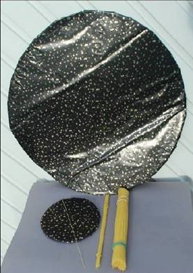
<div>The A1 poster incorporates 4 images of Australia taken from space by Earth observing satellites. The accompanying text briefly introduces sensors and the bands within the electromagnetic spectrum. The images include examples of both true and false colour and the diverse range of applications of satellite images such as tracking visible changes to the Earth’s surface like crop growth, bushfires, coastal changes and floods. Scientists, land and emergency managers use satellite images to analyse vegetation, surface water or human activities as well as evaluate natural hazards.</div>
-
Flyer for year 9 students promoting careers in geoscience
-
This collection of documents detail various field techniques and processes that GA conduct. They are in conjunction with a series of Field Activity Technique Engagement Animations. The target audience are the communities that are impacted by our data acquisition activities. Field techniques in this collection include; • AEM fixed wing • AEM Helicopter • Borehole Geophysics • Goundwater sampling • Magnetotelluric (MT) surveys • Passive seismic surveys • Rapid Deployment Kits (RDKs) • Reflection seismic surveys • Surface Magnetic Resonance (SMR) surveys • Stratigraphic drilling
-
Videos of our primary professional learning sessions: Year 3-4 Stage 2 (middle primary): This session focussed on ‘Earth’s surface changes over time as a result of natural processes and human activity’. The activities emphasised practical investigations of weathering and erosion processes. 30 minutes long. Year 5-6 Stage 3 (upper primary): This session focused on teaching about ‘Sudden geological changes and extreme weather events that can affect Earth’s surface’. Geohazards were the main topic covered and suggested activities to undertake with students were demonstrated. 50 minutes long. These sessions are recordings of Zoom presentations. The accompanying PowerPoint slides are available for download, the presentations also include demonstrations of hands on activities. <p>
-
This video is a flythrough around the coast of Australia shows the major topographic features of the seafloor around the continent. Starting in the south west the viewer can see the continental shelf and slope of the southern coast followed by the seamount chains and the Great Barrier Reef to the east. Continuing around the north then west coast the eastern end of the Java Trench is shown before returning to Perth and pulling out to show the whole continent. The bathymetry is shown at x12 exaggeration and uses a modern colour ramp. Video length 2min 30 sec.
-
Background information for teachers/parents and an activity about earthquake magnitude using spaghetti pasta.
-
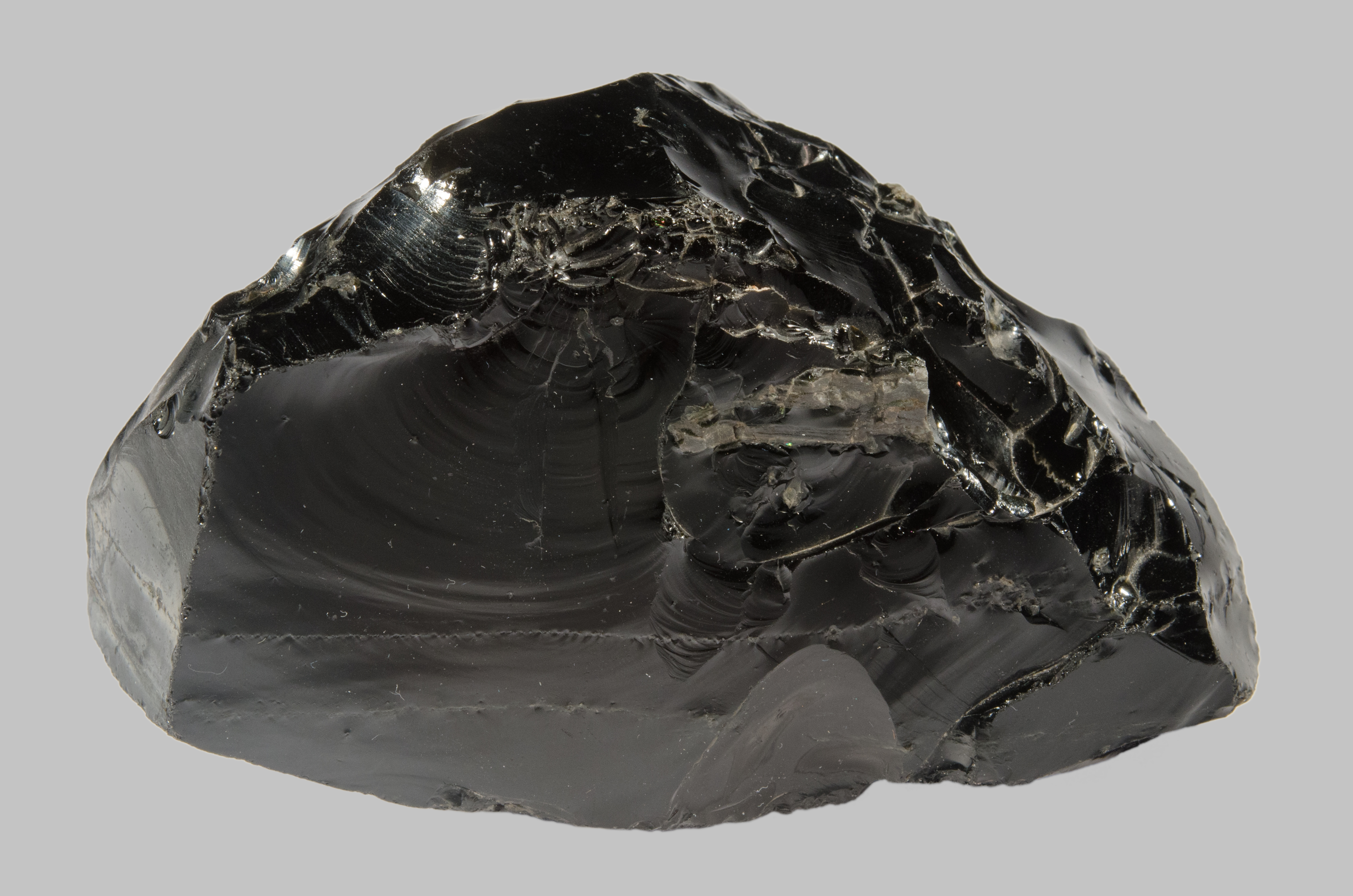
Google Arts and Culture exhibit explaining how man-made and natural glass is formed and the key characteristics of glass. The exhibit features high quality images of fulgurites (glass created by lightning), obsidian (glass from volcanoes) and Australites (glass created by meteorite impacts). The accompanying crossword draws upon content within the exhibit.
-
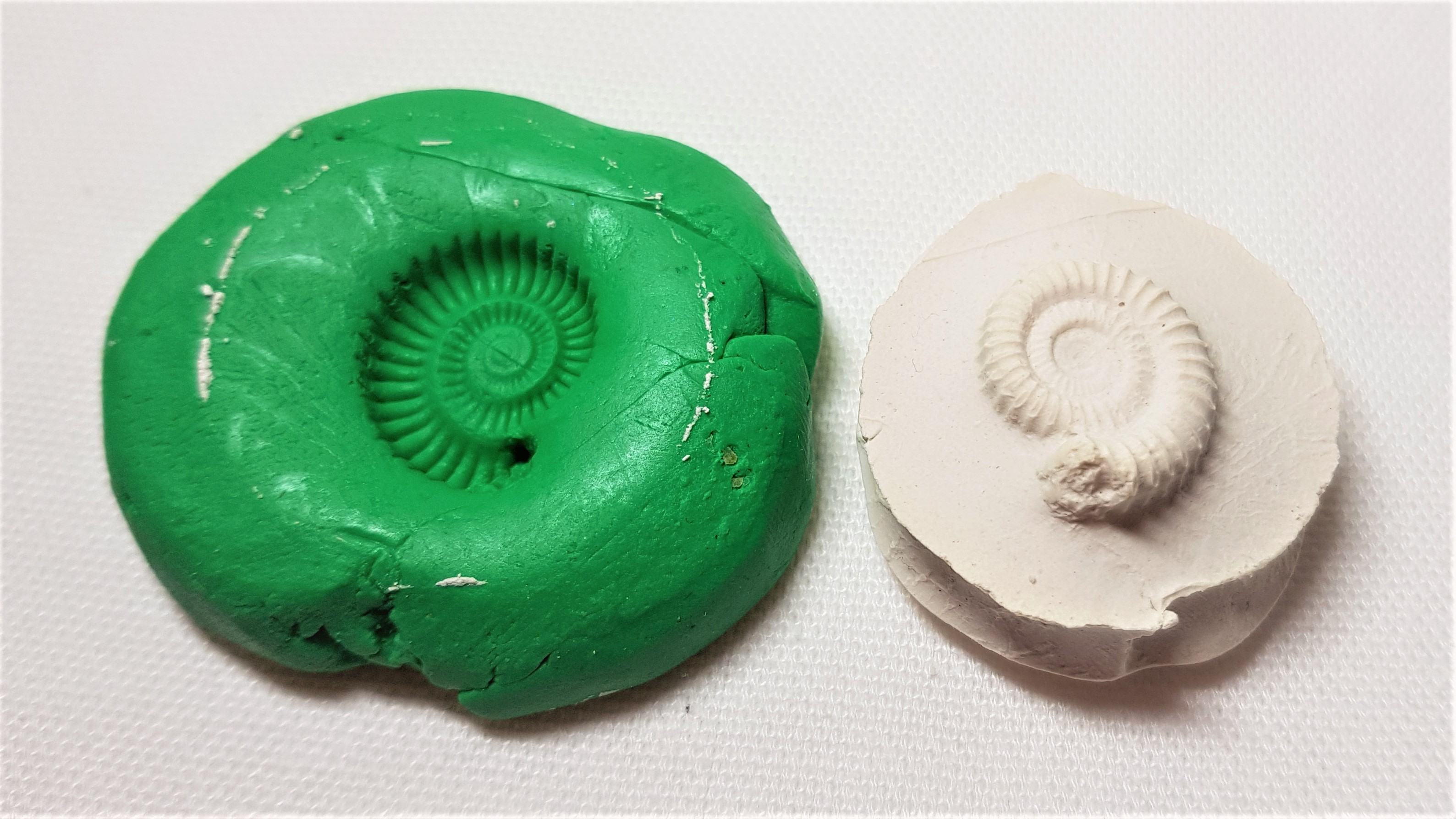
Educational resource and instructions to make your own fossil out of every day materials.
-
This series of short videos will demonstrate how to undertake mineral identification tests. The series will include mineral hardness, streak, density and effervescence an acid test.
-
Activity investigating the expansion rate of water to ice and how this related to weathering of rocks in the environment.