fossil
Type of resources
Keywords
Publication year
Topics
-
Diatom assemblages in sandy deposits of the 2004 tsunami at Phra Thong Island, Thailand may provide clues to flow conditions during the tsunami. The tsunami deposits contain one or more beds that fine upward, commonly from medium sand to silty very fine sand. Diatom assemblages of the lowermost portion of the deposit predominantly comprise of unbroken beach and subtidal species that live attached to sand grains. The dominant taxa shift to marine plankton species in the middle of the bed and to a mix of freshwater, brackish, and marine species near the top. These trends are consistent with expected changes in current velocities of tsunami through time. During high current velocities, medium sand is deposited; only beach and subtidal benthic diatoms attached to sediment can be incorporated into the tsunami deposit. High shear velocity keeps finer material, including planktonic diatoms in suspension. With decreasing current velocities, finer material including marine plankton can be deposited. Finally, during the lull between tsunami waves, the entrained freshwater, brackish, and marine species settle out with mud and plant trash. Low numbers of broken diatoms in the lower medium sand implies rapid entrainment and deposition, whilst selective breakage of marine plankton (Thalassionema nitzschioides, and Thalassiosira and Coscinodiscus spp.) in the middle portion of the deposit probably results from abrasion in the turbulent current before deposition.
-
Legacy product - no abstract available
-
2004 updated version of Helby, Morgan & Partridge (1987)
-
Much of the deep sea comprises soft-sediment habitats dominated by low abundances of small infauna, and traditional methods of biological sampling may therefore fail to sufficiently quantify biodiversity. During feeding and burrowing, many deep sea animals bioturbate the sediment, leaving signs of their activities called lebensspuren ('life traces'). In this study, we use three criteria to assess whether the quantification of lebensspuren from high resolution still images is an appropriate technique to broadly quantify biological activity in the deep sea: 1) The ability to differentiate biological assemblages between geographic regions; 2) the ability to reveal known biological patterns across environmental gradients; and 3) correlation with other methods of biological characterisation often used in the deep sea (e.g. video). Lebensspuren were quantified using a univariate measure of track richness and a multivariate measure of lebensspuren assemblages from the eastern (1712 images, 13 stations) and western (949 images, 11 stations) Australian margins. A total of 46 lebensspuren types were identified, including those matching named trace fossils. Assemblages were significantly different between the two regions, with five lebensspuren types accounting for over 95% of the differentiation (ovoid pinnate trace, crater row, spider feature, matchstick feature, mesh feature). Track richness in the combined margins dataset was correlated to depth, chlorin index (i.e. organic freshness), and possibly mud, although the strength of the relationships varied according to the dataset used. There was no relationship to total organic carbon. Lebensspuren richness from still images was significantly related to lebensspuren from video but not to occurrence of epifauna. Based on these results, the quantification of lebensspuren from still images seems an appropriate measure to broadly characterise biological activity in deep sea soft sediment ecosystems.
-
Poster about the Woolshed Creek fossil site discovered by W.B. Clarke in 1844 now being rehabilitated as a geological heritage site, after Madura Parkway roadworks.
-
This set of four charts provide an update of the million year numbers assigned to Australian palynological zone boundaries to the latest Geologic Time Scale 2004, authored by Gradstein et al. (2004), over the geological time interval Jurassic to Recent. These charts have been drafted to help display the relationships of the palynological zones to the new timescale and to assist in scaling the zones and subzones, so that most million year ages assigned to the zone boundaries are mostly numbers with not more than one decimal place.
-
This CD-ROM consists of 15 images and explanatory text detailing the nature of dinosaur fossils from Southern Australia as determined by scientists working along Australia's southeast coast. Find out about the dinosaurs that lived at polar latitudes between 120 to 110 million years ago and the fascinating methods they developed to cope with the climate of that region. The images include actual fossils discovered and reconstructions of dinosaurs and the plants and animals with which these dinosaurs were associated. Suitable for primary Years 5-6 an secondary Years 7-12.
-
The marine and terrestrial palynology of the Middle Jurassic Wanaea verrucosa Zone from the Perseus-3A, Sunrise-2 and Sunset West-1 wells of the North West Shelf of Australia was studied in detail. These three wells represent brackish and shallow marine successions from the Northern Carnarvon and Bonaparte basins respectively. The palynological data derived from these three wells constitute the basis for the formal definition of this important dinoflagellate cyst biozone and its three constituent subzones. The base of the Lower Wanaea verrucosa Subzone is defined by the inception of the index species and is a relatively sparse, low diversity microphytoplankton assemblage; species richness increases up-section. The base of the succeeding Middle Wanaea verrucosa Subzone is defined by the range base of Valvaeodinium spinosum, and the Upper Wanaea verrucosa Subzone is defined by the incoming of the large and distinctive species Endoscrinium kempiae. Other stratigraphically-important datums include the inceptions of ?Bradleyella adela in the lower subzone, Leptodinium spp. and Wanaea lacuna in the middle subzone, and Endoscrinium spp. and Ternia balmei within the upper subzone. Important range tops include Mancodinium semitabulatum and Phallocysta granosa in the middle subzone, and Nannoceratopsis deflandrei in the upper subzone. These and other datums are compared with European ranges to assign a Late Bajocian to Early Bathonian age to the Wanaea verrucosa Zone.
-
<p><b> Please note: This record has been made available internally for reference only</b> <p>PIMS is a search tool for discovery of survey and well data assets and physical samples held by the Geoscience Australia Repository. Data can be ordered and viewing of samples can be arranged via an online form. Although this is public data, fees are charged to cover the cost of transcription and delivery.
-
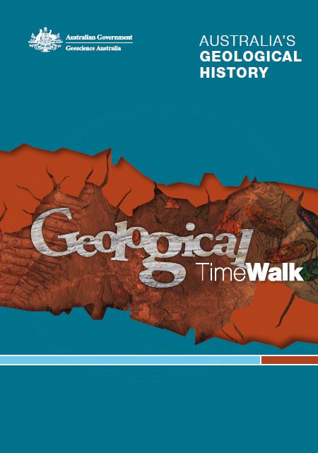
This publication was developed as a guide to be used in conjunction with the Geoscience Australia TimeWalk but can also be used as a standalone guide on geological time. Each section in this publication discusses a single geological time interval, and outlines the major geological, climatic and biological events which occurred in that interval. Geological events include continental drift, the break-up and amalgamation of continental landmasses, mountain-building and major volcanic eruptions. Climatic events include changes in the content of the atmosphere and the occurrence of ice ages. Biological events include the evolution of major groups of organisms, the invasion of the land and major extinctions. Other events include changes in sea levels as well as major meteorite impacts. Each section also shows where rocks of a specific age are found in Australia and lists some of the continent's major mineral and energy resources formed during a particular time interval.