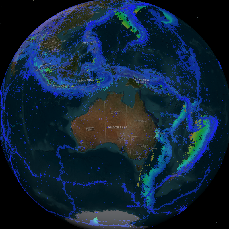
Earthquakes
Type of resources
Keywords
Publication year
Service types
Topics
-
This short video by the Geoscience Australia Education Team is targeted at primary students but is suitable for a wider audience. This video introduces the concepts of earthquake monitoring using seismometers and seismographs. It also features the National Earthquake Alert Centre. Viewers are asked to try making earthquakes at home using the accelerometers in their smartphones. For more education resources visit ga.gov.au/education.
-
Set of old historical documents including, Adelaide Observatory Seismological Bulletins, historical events, Stations installations, SA Activity Bulletins, Regional Events, Maintence Reports, Seismometer Handbooks and Rainfall Observations.
-
Geoscience Australia provides rapid, event-specific, earthquake information from its 24x7 earthquake information centre. Information in this service includes basic earthquake parameters (time, location and magnitude) and information about local effects including ground shaking (modelled).
-
This poster shows earthquakes occurring in Australia in 2016 with a background of earthquake activity in Australia over the past 10 years. Also included are images produced as part of the analysis of the Petermann Ranges Earthquakes -, the offshore Bowen Earthquakes -, and the Norsemann Earthquakes Sequences. A yearly summary of earthquake occurrences in Australia as well as the top 10 Australian earthquakes in 2016 are presented.
-
The Earthquakes@GA application can be used to find information on recent earthquakes as monitored by Geoscience Australia, search the earthquake catalogue, submit a report about an earthquake users have felt, and subscribe to notifications about earthquakes Geoscience Australia has analysed.
-
Geoscience Australia provides rapid, event-specific, earthquake information from its 24x7 earthquake information centre. Information in this service includes basic earthquake parameters (time, location and magnitude) and information about local effects including ground shaking (modelled). This includes all historic data.
-
This catalogue details earthquakes located by South Australian State Government Seismic Monitoring. Earthquake information extends from 1840 to 2017
-
Detailed Earthquake Location files 2013-2016. Station Journals (Calibrations, logs and site visits) 1991-1993. "Scan Sheets" 1993-2016. Phase Worksheets, 1963-2016.
-
<div>Students can access and analyse real world earthquake data using online portals created by Geoscience Australia (GA) (Geoscience Australia data portal and Earthquakes@GA). The document provides background information for teachers about earthquakes and the online portals, as well as two student inquiry activities. Each activity includes instructions on how to access and use the relevant portal as well as questions that prompt students to find, record, and interpret the data. An Excel table is provided to accompany one of the activities.</div><div><br></div><div>The activities are suitable for use with secondary to senior secondary science and geography students. The topics covered in these activities include: earthquakes, plate tectonics and natural hazards.</div><div><br></div><div>The print version has lines provided for written answers, the accessible version is intended for digital responses. </div>
-
<div>Australia's vast terrains harbour small seismic events that often go unnoticed due to sparse station coverage and ambient noise interference. Innovative data processing techniques hold the key to revealing signals present in the seismic records that are suppressed by noise. In this presentation, I will talk about how seismic array techniques play an important role in our ability to detect and understand these subtle seismic signals, and how we employ these methods to bridge the gaps in our seismic coverage. This has applications to earthquake monitoring, hazard assessment, and environmental insights.</div>