ESRI:ArcGIS:MapServer
Type of resources
Keywords
Publication year
Distribution Formats
Service types
Topics
-
This service has been created specifically for display in the National Map and the chosen symbology may not suit other mapping applications. The Australian Topographic web map service is seamless national dataset coverage for the whole of Australia. These data are best suited to graphical applications. These data may vary greatly in quality depending on the method of capture and digitising specifications in place at the time of capture. The web map service portrays detailed graphic representation of features that appear on the Earth's surface. These features include the administration boundaries from the Geoscience Australia 250K Topographic Data, including state forest and reserves.
-
The Layered Geology of Australia web map service is a seamless national coverage of Australia’s surface and subsurface geology. Geology concealed under younger cover units are mapped by effectively removing the overlying stratigraphy (Liu et al., 2015). This dataset is a layered product and comprises five chronostratigraphic time slices: Cenozoic, Mesozoic, Paleozoic, Neoproterozoic, and Pre-Neoproterozoic. As an example, the Mesozoic time slice (or layer) shows Mesozoic age geology that would be present if all Cenozoic units were removed. The Pre-Neoproterozoic time slice shows what would be visible if all Neoproterozoic, Paleozoic, Mesozoic, and Cenozoic units were removed. The Cenozoic time slice layer for the national dataset was extracted from Raymond et al., 2012. Surface Geology of Australia, 1:1 000 000 scale, 2012 edition. Geoscience Australia, Canberra.
-
The Historical Bushfire Boundaries service represents the aggregation of jurisdictional supplied burnt areas polygons stemming from the early 1900's through to 2022 (excluding the Northern Territory). The burnt area data represents curated jurisdictional owned polygons of both bushfires and prescribed (planned) burns. To ensure the dataset adhered to the nationally approved and agreed data dictionary for fire history Geoscience Australia had to modify some of the attributes presented. The information provided within this service is reflective only of data supplied by participating authoritative agencies and may or may not represent all fire history within a state.
-
The Australian Gazetteer service provides authoritative information on the location, and spelling of approved place names. The Australian Gazetteer is a subset of information held by the relevant State, Territory and Commonwealth naming authorities. Additional authoritative information has also been sourced from the Australian Hydrographic Service, Australian Antarctic Division and Geoscience Australia.
-
The National Drilling Initiative (NDI) will manage and deliver drilling programs in multiple case study areas proposed by MinEx CRC’s partner geological survey organisations. The NDI vision is to drill multiple holes in a region to map the regional geology and architecture and define the potential for mineral systems in 3D. The areas shown in this web service describe the spatial locations of the study areas.
-
As part of the 2018 Tropical Cyclone Hazard Assessment (TCHA), we compiled the geospatial raster dataset that can be accessible to internal and external users via ArcGIS online and can be integrated for building additional geoprocessing applications. This web service gives more stable and easy access to data and interactive maps. With having separate geospatial layers for each recurrence interval- i.e. 5 through 10000 years, users can toggle between the layers and evaluate the changes in wind speed (km/hr) and potential areas at risk on the fly.
-

This is the Acreage Release Marine Environmental Data compiled web service to be updated each year with acreage release. It contains the following publicly available datasets, for the 2016 Acreage Release - Marine Survey Towed-video Transects, Marine Sediments Database Samples, Australian Seascapes, Seabed Mud Content on the Northwest Shelf, Seabed Sand Content of the Northwest Shelf and Seabed Gravel Content of the Northwest Shelf.
-
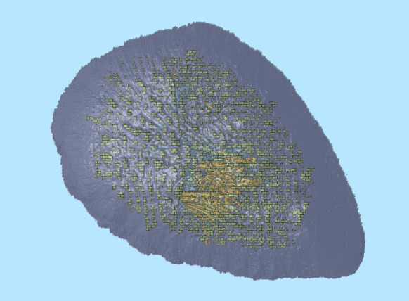
This ESRI map (web) service contains geospatial seabed morphology and geomorphology information for Cairns Seamount within the Coral Sea Marine Park and are intended for use by marine park managers, regulators, the general public and other stakeholders. This web service uses the data product published in McNeil et al. (2023); eCat Record 147998.
-
The Surface Geology web map service provides two seamless national coverages of Australian bedrock and surficial geology, compiled at 1:1 million scale (displays only at scales less than 1:1500000), and 1:2.5 million scale (displays only at scales greater than 1:1500000). It also contains 1:5 million scale geological regions and metamorphic geology. The service represents outcropping or near-outcropping bedrock units, and unconsolidated or poorly consolidated regolith material covering bedrock.
-
The data contained in this service is not authoritative and has not been updated since 2006. This web service contains the legacy data found in the Australian Marine Spatial Information System (AMSIS) between 2006 and 2015, with a currency date of 2006. To honour the original licensing arrangements with the data holders, only the WMS is available. Users will need to contact the agency responsible for the data to check current validity and spatial precision.

