Australian earthquake
Type of resources
Keywords
Publication year
Topics
-
<div>The Australian Seismometers in Schools (AuSIS) network operates 50 broadband seismic stations across Australia that are hosted at schools. The instruments augment the Australian National Seismograph Network providing valuable data from urban and regional Australia. The network coverage is quite sparse, but these vital records of rare, moderate Australian earthquakes can improve our understanding of the deformation within the stable-continental region of Australia, especially for events with no surface rupture. In this study, we present the feasibility of identifying the fault plane of moderate earthquakes on the Australian continent, using data from the AuSIS network. We examine the fault plane of the September 2021, MW 5.9 Woods Point earthquake that occurred about 130 km northeast of the Melbourne metropolitan area. We estimate the hypocenter and the centroid-moment-tensor to identify the fault plane from the auxiliary plane in the focal mechanism. We explore a range of 1D models and a 3D Earth model to simulate seismic arrivals and full waveform data. The hypocenter is resolved using P and S-wave arrivals in a probabilistic framework and the centroid-moment-tensor is derived from full waveform modelling through grid search over a set of trial points around the hypocenter. Our solution suggests the main shock ruptured the depth of 15±4 km, with a strike-slip mechanism striking 348º North on a nearly vertical plane. The high double-couple (DC) percentage of this event indicates a simple rupture that propagated from the south (hypocenter) toward the north (centroid) and remained subsurface with no surface exposure. This indicates that the causative fault had a deeper structure than the previously known shallow, NW-SE striking faults of the region. The P- and T-axis deduced from our fault model are notably aligned with the maximum horizontal crustal stress in the region.</div> <b>Citation:</b> Sima Mousavi, Babak Hejrani, Meghan S. Miller, Michelle Salmon; Hypocenter, Fault Plane, and Rupture Characterization of Australian Earthquakes: Application to the September 2021 M<sub> w</sub> 5.9 Woods Point Earthquake. <i>Seismological Research Letters</i> 2023;; 94 (4): 1761–1774. doi: https://doi.org/10.1785/0220220348
-
<div>The 22nd September 2021 (AEST) <em>M</em>W 5.9 Woods Point earthquake in the Victorian High Country was the largest onshore event to have occurred in Victoria in the modern instrumental era, and probably since European settlement. Geoscience Australia’s National Earthquake Alerts Centre (NEAC) received in excess of 43,000 felt reports from the Australian community, with peak rates of almost 700 reports per minute. The felt reports ranged in severity from personal alarm to building damage. These crowd-sourced felt reports are received by Geoscience Australia in real time and mapped on the publicly available EQ@GA website. Other studies showed that felt reports alone can be used to estimate the potential impact of the earthquake in its early stages. The number and the spatial extent of felt reports are easily visible on the website, and the ShakeMap and FeltGrid features show the modelled and reported intensity as the reports are being received. These sources of information can help support emergency managers in making decisions for coordinated response. <b>Citation:</b> Pejic, T., Allen, T.I.; Crowd-sourced Felt Reports for 22 September 2021 MW 5.9 Woods Point earthquake: actions of the public; <i>AJEM</i> 39:2, April 2024, pp 51-56.
-
<div>The 1 March 1954 earthquake in South Australia is the most damaging earthquake to impact the densely populated Adelaide region since European settlement. Previous interpretations have associated the event with the Eden-Burnside Fault zone, with a presumed epicentre near Darlington. Surprisingly, comparing macroseismic intensities from the 1954 earthquake with similar modern observational datasets suggests the 1954 event was perhaps larger than previously thought. We assess the validity of this observation by reviewing available macroseismic and instrumental data. We observe damaging shaking extending east from Adelaide into the Adelaide Hills, but without a well-defined locus of higher intensities. The limited teleseismic observations lead us to further speculate that the 1954 earthquake could have been deeper and/or associated with a higher-than-normal stress drop. These new findings question the conventionally assumed location for the 1954 earthquake. Our work highlights the potential seismic hazards faced by large urban centres in Australia such as Adelaide.</div> This paper was presented to the 2022 Australian Earthquake Engineering Society (AEES) Conference 24-25 November (https://aees.org.au/aees-conference-2022/)
-
The Mwp 6.1 Petermann Ranges earthquake that occurred on 20 May, 2016 in the Central Ranges, NT, is the largest onshore earthquake to be recorded in Australia since the 1988 Tennant Creek sequence. While geodetic and geophysical analyses have characterized the extent of surface rupture and faulting mechanism respectively, a comprehensive aftershock characterization has yet to be performed. Data has been acquired from a 12-station temporary seismic network deployed jointly by the ANU and Geoscience Australia (GA), collected from five days following the mainshock to early October. Taking advantage of enhanced automatic detection techniques using the SeisComP3 real-time earthquake monitoring software within the National Earthquake Alerts Centre (NEAC) at GA, we have developed a comprehensive earthquake catalogue for this mainshock-aftershock sequence. Utilising the NonLinLoc location algorithm combined with a Tennant Creek-derived velocity model, we have preliminarily located over 5,800 aftershocks. With additional spatio-temporal analyses and event relocation, our objective will be to use these aftershocks to help delineate the geometry of the headwall rupture along the Woodroffe Thrust. These high-resolution aftershock detection techniques are intended to be implemented in real-time within the NEAC following future significant Australian intraplate earthquakes. This paper was presented at the Australian Earthquake Engineering Society 2021 Virtual Conference, Nov 25 – 26.
-
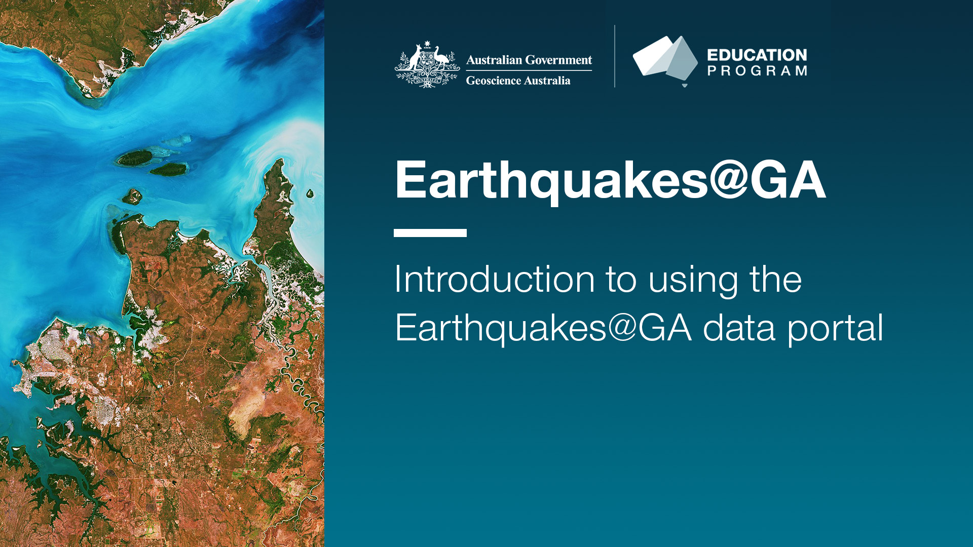
<div>These videos are part of a series to provide tutorials in how to use the Earthquakes@GA portal in the classroom. They include guides for basic navigation, how to access summary data for recent earthquake events and how to make a felt report. They also demonstrate how to use the Search function to collect historic earthquake data across a range of criteria including location (both within Australia and across the world), date and time, and magnitude.</div><div>Videos included:</div><div>- Introduction to using the Earthquakes@GA data portal</div><div>- How to use the Search function in the Earthquakes@GA data portal</div><div><br></div><div>They are suitable for a secondary to senior secondary student and teacher audience.</div>