Groundwater hydrology
Type of resources
Keywords
Publication year
Topics
-
<div>In response to the acquisition of national-scale airborne electromagnetic surveys and the development of a national depth estimates database, a new workflow has been established to interpret airborne electromagnetic conductivity sections. This workflow allows for high quantities of high quality interpretation-specific metadata to be attributed to each interpretation line or point. The conductivity sections are interpreted in 2D space, and are registered in 3D space using code developed at Geoscience Australia. This code also verifies stratigraphic unit information against the national Australian Stratigraphic Units Database, and extracts interpretation geometry and geological data, such as depth estimates compiled in the Estimates of Geological and Geophysical Surfaces database. Interpretations made using this workflow are spatially consistent and contain large amounts of useful stratigraphic unit information. These interpretations are made freely-accessible as 1) text files and 3D objects through an electronic catalogue, 2) as point data through a point database accessible via a data portal, and 3) available for 3D visualisation and interrogation through a 3D data portal. These precompetitive data support the construction of national 3D geological architecture models, including cover and basement surface models, and resource prospectivity models. These models are in turn used to inform academia, industry and governments on decision-making, land use, environmental management, hazard mapping, and resource exploration.</div>
-
<div>Geoscience Australia, in partnership with Commonwealth, State and Territory governments is delivering national and regional groundwater investigations through the Exploring for the Future (EFTF) Program to support water management decisions. Geoscience Australia’s groundwater studies apply innovative geoscience tools and robust geoscientific workflows to increase knowledge and understanding of groundwater systems and assessment of groundwater resource potential for economies, communities and the environment. </div> This presentation was given at the 2022 Australasian Groundwater Conference 21-23 November (https://agc2022.com.au/)
-
<div>As part of the $225 million Exploring for the Future programme, Geoscience Australia have undertaken an investigation into the resource potential of the Officer-Musgrave-Birrindudu region. Part of this project focusses on characterising palaeovalley groundwater resources within the West Musgrave region of Australia. This GA Record is a technical report detailing the science undertaken as part of the Musgrave Palaeovalley groundwater project. The project aimed to improve understanding of the region's palaeovalley architecture, groundwater quality, and overall hydrogeology to support responsible water resource management. The most significant work undertaken included three-dimensional modelling of palaeovalley architecture, groundwater characterisation using hydrochemistry, groundwater model conceptualisation and a detailed review of local groundwater around remote communities in the region. This work will underpin responsible groundwater management into the future.</div>
-
<div>Aboriginal and Torres Strait Islander peoples hold a wealth of traditional knowledge about their land and waters gathered and passed down from observations over thousands of years. Geoscience Australia (GA) is the national geoscience public sector organisation that advises on the geology, hydrogeology, and geography of Australia by applying science and technology to describe and understand the Earth. Respectful and successful two-way engagement with Indigenous peoples provides an opportunity to identify and share traditional understanding, complementing geoscientific studies and preserving traditional knowledge Through its Innovate Reconciliation Action Plan, GA is committed to building mutually beneficial relationships with Aboriginal and Torres Strait Islander peoples. Aligned with this vision, and as part of the Exploring for the Future Program, GA engaged a subject matter expert to undertake a scoping study. The aim of this study was to provide advice to strengthen the internal processes it uses to engage and undertake projects with Indigenous peoples. Drawing on two case studies (northeast NSW; eastern WA), a framework was developed to guide GA staff in the collection and recording of information and knowledge in a culturally appropriate manner. The project also delivered a road map to achieve better engagement and inclusion of Indigenous peoples in geoscience studies, to be tested and refined in future work programs. The road map is built on six key elements: (1) increasing Indigenous employment; (2) building partnerships; (3) respecting timeframes; (4) embedding Indigenous values and culture; (5) adhering to ethical practices and principles; and (6) embracing two-way knowledge sharing. Trust is crucial to building a partnership with Indigenous communities, binding the six elements of the road map. In the future GA hopes to share the outcomes with other organisations, from applying the framework and road map aimed at improving engagement with Indigenous peoples in groundwater activities and the geosciences more broadly. Presented at the 2022 Australasian Groundwater Conference (AGC)
-
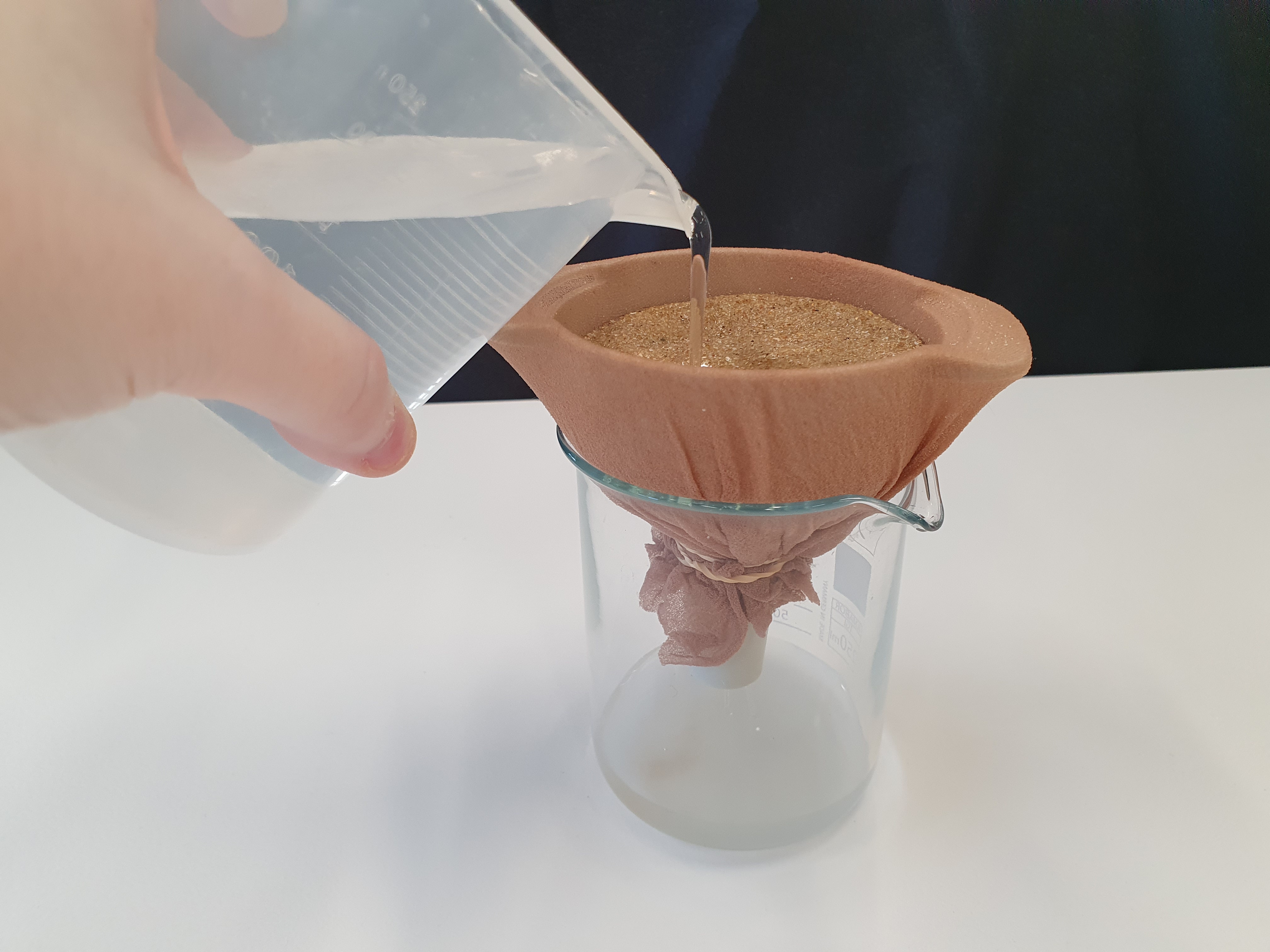
<div>This document describes a series of experiments that grow student understanding of the concepts on porosity and permeability as it relates to groundwater. Sediments are used to substitute for sedimentary rocks and water movement through different types of sediment is evaluated. The document is split into two sections, background information for teachers and a 3 part experiment with activity sheet for students. The activities are suitable for use with secondary to senior secondary science and geography students.</div>
-
<div>Understanding groundwater flow dynamics within the Great Artesian Basin (GAB) is critical for responsible management of groundwater from an environmental, economic and cultural perspective. Numerical groundwater flow modelling involves generating a simplified representation of a groundwater system and using Darcy’s Law to simulate groundwater flow rates and the distribution of hydraulic heads throughout the system. This is a pilot study aimed at developing a workflow for groundwater flow modelling of the Great Artesian Basin using Bayesian methods. In this report, we present our initial results from building and running a steady-state groundwater flow model of the entire GAB. We demonstrate a Bayesian inference framework to generate an ensemble of groundwater flow models allowing an assessment of the uncertainty of model parameters and flow velocities. </div><div>Several models have been built to simulate groundwater flow across various areas and layers of the GAB. Most of these models aimed to predict the likely impacts on the groundwater system of some future scenario, generally climate change or groundwater extraction relating to mining activities. While these models are well-suited to their purpose, their focus on particular regions or aquifers makes them unsuitable for investigating large-scale groundwater flow throughout the GAB. In contrast, the model built as part of this study captures the entire GAB and aims to simulate large-scale flow. Although not in scope for this pilot study, the questions a model at this scale is capable of addressing include characterising 3D flow within hydrogeological layers, computing groundwater flux between aquifers and between sub-basins, inferring hydraulic properties and identifying poor quality data. As this model is steady-state and uses hydraulic head data from before the year 2000, it provides a baseline estimate of groundwater flow without considering recent anthropogenic forcing or transient system stresses. </div><div>The GAB is represented as a 14 hydrogeological layer model including basement, Permo-Carboniferous basins, Mesozoic sedimentary aquifers and aquitards and Cenozoic layers. This includes updated hydrogeological surfaces from the GAB project. The input data consisted of 8,065 hydraulic head measurements and 6,151 estimates of recharge rate while the model parameters were a single hydraulic conductivity value for each of the 14 layers. The modelling domain was discretised using 10 x 10 km cells in the horizontal plane and the mesh was deformed vertically to fit between the topography and the basement surface, with the resulting mesh having a vertical discretisation of no coarser than 50 metres. The top boundary condition was a constant head boundary that was a smoothed version of topography. The sides and bottom of the model have no flux boundary conditions and a buffer zone around the GAB was included to minimise boundary effects. </div><div>In total 2500 groundwater flow simulations were run using a Bayesian inversion framework. The inversion sampled various combinations of input parameters to find models with a relatively low misfit, which was calculated by squaring the difference between the observed and simulated values of hydraulic head and recharge. Rather than searching for a global minima, the Metropolis Hastings Markov Chain Monte Carlo sampling algorithm was used to explore a range of possible models and estimate the posterior distribution of each layer’s hydraulic conductivity. </div><div>The model performed adequately and the model parameters were generally consistent with the prior probability distributions based on previous modelling studies. However, the posterior distribution of model parameters were very broad indicating the model was not particularly informative in its current form. </div><div>Groundwater flow velocity vectors from the maximum likelihood model were used to investigate groundwater trends within the Cadna-owie-Hooray aquifer. Uncertainty of model predictions were investigated by calculating the groundwater flow velocity variance across the ensemble. This study demonstrates that it is technically feasible to use Bayesian inference to probabilistically mode groundwater flow across the entire GAB. However, for this approach to yield useful results, more work is required to understand the impacts of simplifying assumptions about layer properties, the quality of the input data and model structure on the resulting flow model. </div><div><br></div>
-
<div>The Darling River is the primary water source for communities on the Upper Darling River Floodplain (UDF) in arid northwest New South Wales. A 70% reduction in mean annual flow down the Darling over the past 80 years, due to droughts and over-extraction, has resulted in critical water shortages and water quality issues for communities and ecosystems. Presently there is a limited understanding of the spatial extent and controls on the occurrence of lower salinity groundwater within the surrounding Darling Alluvium; a possible alternative water source that is also important to groundwater-dependent ecosystems.</div><div> </div><div>The UDF project, part of the Australian Government’s Exploring for the Future program is working in collaboration with State partners to collect and integrate new data with existing hydrogeological knowledge. The project aims to improve the hydrogeological understanding of the region to help inform water management decisions and increase water security. A key focus of the project is the Darling Alluvium (DA)—a closed regional groundwater system comprising unconsolidated Cenozoic sediments deposited primarily by the paleo and current Darling River systems and their tributaries. Connectivity with aquifers of varying quality, within the underlying Murray and Great Artesian Basins, is also being investigated. </div><div> </div><div>Integration of airborne electromagnetic (AEM), hydrometric and hydrochemical data with lithology logs and geological maps has revealed a broad trend in groundwater–surface water dynamics. In the upper reaches of the floodplain systems appear to be disconnected, while in the lower reaches losing stream conditions prevail. In the losing stream setting, resistive AEM signatures, at depths of up to 60 m below ground level and extending laterally for several hundred metres from the river, indicate a hydraulic gradient away from the river. Low salinity groundwater measured in shallow bores suggest the potential for a significant quality groundwater resource. Further investigations will improve confidence in the geometry of fresh water zones, recharge rates, connectivity with underlying saline aquifers and relationships with groundwater-dependent ecosystems. </div><div><br></div>This Abstract was submitted/presented to the 2022 Australasian Groundwater Conference 21-23 November (https://www.aig.org.au/events/australasian-groundwater-conference-2022/)
-
<div>GeoInsight was an 18-month pilot project developed in the latter part of Geoscience Australia’s Exploring for the Future Program (2016–2024). The aim of this pilot was to develop a new approach to communicating geological information to non-technical audiences, that is, non-geoscience professionals. The pilot was developed using a human-centred design approach in which user needs were forefront considerations. Interviews and testing found that users wanted a simple and fast, plain-language experience which provided basic information and provided pathways for further research. GeoInsight’s vision is to be an accessible experience that curates information and data from across the Geoscience Australia digital ecosystem, helping users make decisions and refine their research approach, quickly and confidently. </div><div><br></div><div>In the first iteration of GeoInsight, selected products for energy, minerals, water, and complementary information from Geoscience Australia’s Data Discovery Portal and Data and Publications Catalogue were examined to (1) gauge the relevance of the information they contain for non-geoscientists and, (2) determine how best to deliver this information for effective use by non-technical audiences. </div><div><br></div><div>This Record documents the technical details of the methods used for summarising groundwater information for GeoInsight, including groundwater reliance, depth, salinity, and uses. This Record will be updated, including a change log, when the scope of information or methods for generating the data change.</div>
-
<div>Reliable water availability is critical to supporting communities and industries such as mining, agriculture and tourism. In remote and arid areas such as in the Officer – Musgrave region of central Australia, groundwater is the only viable source of water for human and environmental use. Groundwater systems in remote regions such as the Musgrave Province are poorly understood due to sparse geoscientific data and few detailed scientific investigations. The Musgrave palaeovalley module will improve palaeovalley groundwater system understanding in the Musgrave Province and adjacent basins to identify potential water sources for communities in the region. This report summarises the state of knowledge for the region on the landscape, population, water use, geology and groundwater systems. An analysis of the current and potential future water needs under different development scenarios captures information on how water is used in an area covering three jurisdictions and several potentially competing land uses.</div><div>The Musgrave Palaeovalley study area is generally flat, low-lying desert country. The Musgrave, Petermann, Mann and Warburton ranges in the centre of the area are a significant change in elevation and surface materials, comprising rocky hills, slopes and mountains with up to 800 m of relief above the sand plains. Vegetation is generally bare or sparse, with isolated pockets of grassy or woody shrub lands. Soils are typically Tenosols, Rudosols and Kandosols.</div><div><br></div><div>There are four main hydrogeological systems in the study area. These are the fractured and basement rocks, local Quaternary sediments regional sedimentary basins and palaeovalley aquifers. These systems are likely to be hydraulically connected. Within palaeovalleys, three main hydrostratigraphic units occur. The upper Garford Formation is a sandy unconfined aquifer with a clay rich base (lower Garford Formation) which acts as a partial aquitard where present. The Pidinga Formation represents a coarser sandy or gravelly channel base, which is partly confined by the lower Garford Formation aquitard. The aquifers are likely to be hydraulically connected on a regional scale. Further to the west, equivalent units are identified and named in palaeovalley systems on the Yilgarn Craton. </div><div><br></div><div>Groundwater is recharged by episodic, high-intensity rainfall events and mostly discharges via evapotranspiration. Recharge is higher around the ranges, and lower over the flatter sand plains. Palaeovalley aquifers likely receive some groundwater inflow from underlying basin systems and fractured rock systems. Regional groundwater movement is topographically controlled, moving from the ranges towards surrounding areas of lower elevation. In some palaeovalleys groundwater discharges at playa lakes. Water table gradients are very low. More groundwater isotope and tracer data is required to understand potential connectivity between basin, fractured rock and palaeovalley systems.</div><div>Groundwater quality is brackish to saline, although pockets of fresher groundwater occur close to recharge areas and within the deeper and coarse-grained Garford Formation. Groundwater resources generally require treatment prior to use Most groundwater in the region is suitable for stock use. </div><div><br></div><div>Existing palaeovalley mapping is restricted to inferring extents based on landscape position and mapped surface materials. Utilising higher resolution digital elevation models and more recently acquired remotely sensed data will refine mapped palaeovalley extents. Improving the modelling of the distribution and depth of palaeovalleys in greater detail across the region is best aided through interpretation of airborne electromagnetic (AEM) data.</div><div>Based on the successes of integrating AEM with other geoscientific data in South Australia, we have acquired 25,109 line km of new AEM across the WA and NT parts of our study area. We will integrate this data with reprocessed and inverted publicly available AEM data, existing borehole information, existing and newly acquired hydrochemical data, and new surface magnetic resonance data to model the three dimensional distribution of palaeovalleys in the study area. We will use these models and data as the basis for conceptualising the hydrogeology of the palaeovalley systems, and provide information back to local communities and decision-makers to inform water management decisions. The data will also provide valuable precompetitive information for future economic development in the region.</div><div><br></div>
-
<div>This is a conference abstract discussing the compilation of information for our consistent national understanding across the major hydrogeological regions of Australia. This work is a component of the National Groundwater Systems project within the Exploring for the Future program.</div>