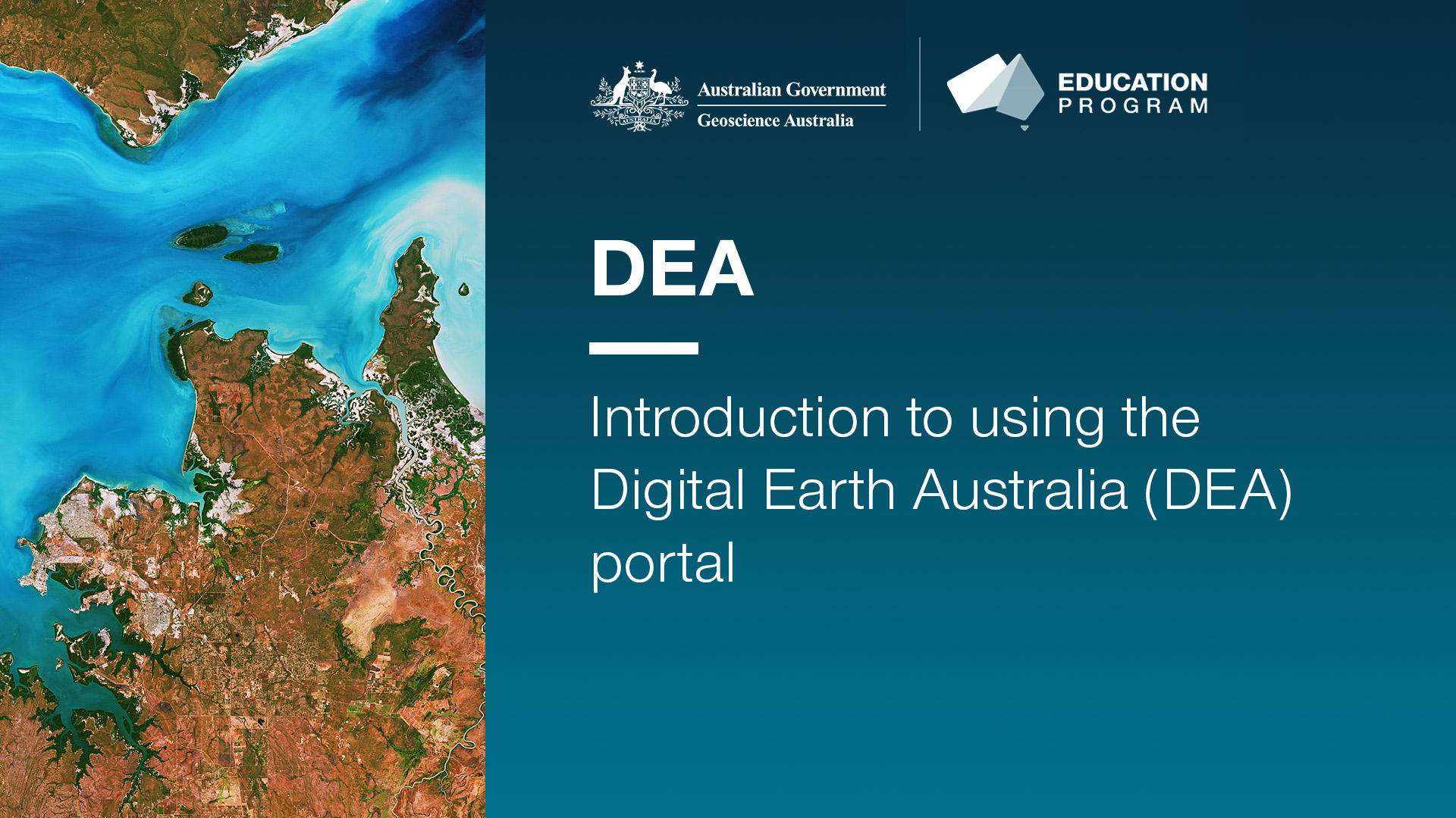
Using the Digital Earth Australia (DEA) portal in the classroom tutorial videos
<div>These two videos provide tutorials on how to use the Digital Earth Australia (DEA) portal in the classroom. They include guides for basic navigation, how to load a data set (DEA Landcover) and how to compare different dates within a data set. Additionally, they also show how to share your data via either a share link, image or as an interactive ‘Story’ of saved scenes.</div><div>Videos included:</div><div>- Introduction to using the Digital Earth Australia (DEA) portal</div><div>- Exploring land cover data using the Digital Earth Australia (DEA) portal</div>
Simple
Identification info
- Date (Creation)
- 2023-09-12
- Date (Publication)
- 2024-05-07T02:28:40
- Citation identifier
- Geoscience Australia Persistent Identifier/https://pid.geoscience.gov.au/dataset/ga/149393
- Citation identifier
- Digital Object Identifier/https://dx.doi.org/10.26186/149393
- Cited responsible party
-
Role Organisation / Individual Name Details Publisher Commonwealth of Australia (Geoscience Australia)
Voice Author Iffland, D.
Internal Contact
- Purpose
-
These videos were created as part of a larger suite of resources relating to the DEA portal. They were created to provide quick and clear tutorials on how to use the data in the DEA portal for teachers and students. The videos link to written instructions in the student activities that relate to natural hazards and landscape changes over time. They are suitable for a secondary to senior secondary student and teacher audience.
- Status
- Completed
- Point of contact
-
Role Organisation / Individual Name Details Resource provider Office of the Chief Scientist
External Contact Point of contact Commonwealth of Australia (Geoscience Australia)
Voice Point of contact Alden, T.
Internal Contact
- Spatial representation type
- Topic category
-
- Geoscientific information
Extent
))
- Maintenance and update frequency
- As needed
Resource format
- Title
-
Product data repository: Various Formats
- Website
-
Data Store directory containing the digital product files
Data Store directory containing one or more files, possibly in a variety of formats, accessible to Geoscience Australia staff only for internal purposes
- Keywords
-
-
Natural Hazards
-
- Keywords
-
-
satellite imagery
-
- Keywords
-
-
landscape change
-
- Keywords
-
-
Digital Earth Australia (DEA)
-
- theme.ANZRC Fields of Research.rdf
-
-
Natural hazards
-
- Keywords
-
-
Published_External
-
Resource constraints
- Title
-
Creative Commons Attribution 4.0 International Licence
- Alternate title
-
CC-BY
- Edition
-
4.0
- Addressee
-
Role Organisation / Individual Name Details User Any
- Use constraints
- License
- Use constraints
- Other restrictions
- Other constraints
-
© Commonwealth of Australia (Geoscience Australia) 2024
Resource constraints
- Title
-
Australian Government Security Classification System
- Edition date
- 2018-11-01T00:00:00
- Classification
- Unclassified
- Classification system
-
Australian Government Security Classification System
Associated resource
- Association Type
- Informed
- Title
-
Observing Australian natural hazards through satellite imagery - Classroom activities using Digital Earth Australia (DEA)
- Citation identifier
- 149042
- Citation identifier
- 3f5433d5-6c27-40fa-83dc-8fadaa6eed92
- Language
- English
- Character encoding
- UTF8
Distribution Information
- Distributor contact
-
Role Organisation / Individual Name Details Distributor Commonwealth of Australia (Geoscience Australia)
Voice facsimile
- OnLine resource
-
Link to YouTube video
Link to YouTube video
- Distribution format
-
Resource lineage
- Statement
-
<div>Tutorials in Geoscience Australia portals for classroom use were first developed for a teacher professional learning session at CONASTA70 in Adelaide 2023. From this session, student activity sheets were created for each portal around different curriculum linked themes. These videos were then created to provide additional tutorial aids for both teachers and students.</div>
Metadata constraints
- Title
-
Australian Government Security Classification System
- Edition date
- 2018-11-01T00:00:00
- Classification
- Unclassified
Metadata
- Metadata identifier
-
urn:uuid/d8dac2cc-dbf4-497a-85cf-9ae86c01c876
- Title
-
GeoNetwork UUID
- Language
- English
- Character encoding
- UTF8
- Contact
-
Role Organisation / Individual Name Details Point of contact Commonwealth of Australia (Geoscience Australia)
Voice Point of contact Alden, T.
Internal Contact
Type of resource
- Resource scope
- Document
- Name
-
Teaching / Outreach Document
Alternative metadata reference
- Title
-
Geoscience Australia - short identifier for metadata record with
uuid
- Citation identifier
- eCatId/149393
- Date info (Creation)
- 2024-05-07T02:21:05
- Date info (Revision)
- 2024-05-07T02:21:05
Metadata standard
- Title
-
AU/NZS ISO 19115-1:2014
Metadata standard
- Title
-
ISO 19115-1:2014
Metadata standard
- Title
-
ISO 19115-3
- Title
-
Geoscience Australia Community Metadata Profile of ISO 19115-1:2014
- Edition
-
Version 2.0, September 2018
- Citation identifier
- http://pid.geoscience.gov.au/dataset/ga/122551
Overviews

Spatial extent
))
Provided by
