Groundwater Sampling
This animation shows how groundwater sampling is conducted. It is part of a series of Field Activity Technique Engagement Animations.
The target audience are the communities that are impacted by GA's data acquisition activities. There is no sound or voice over.
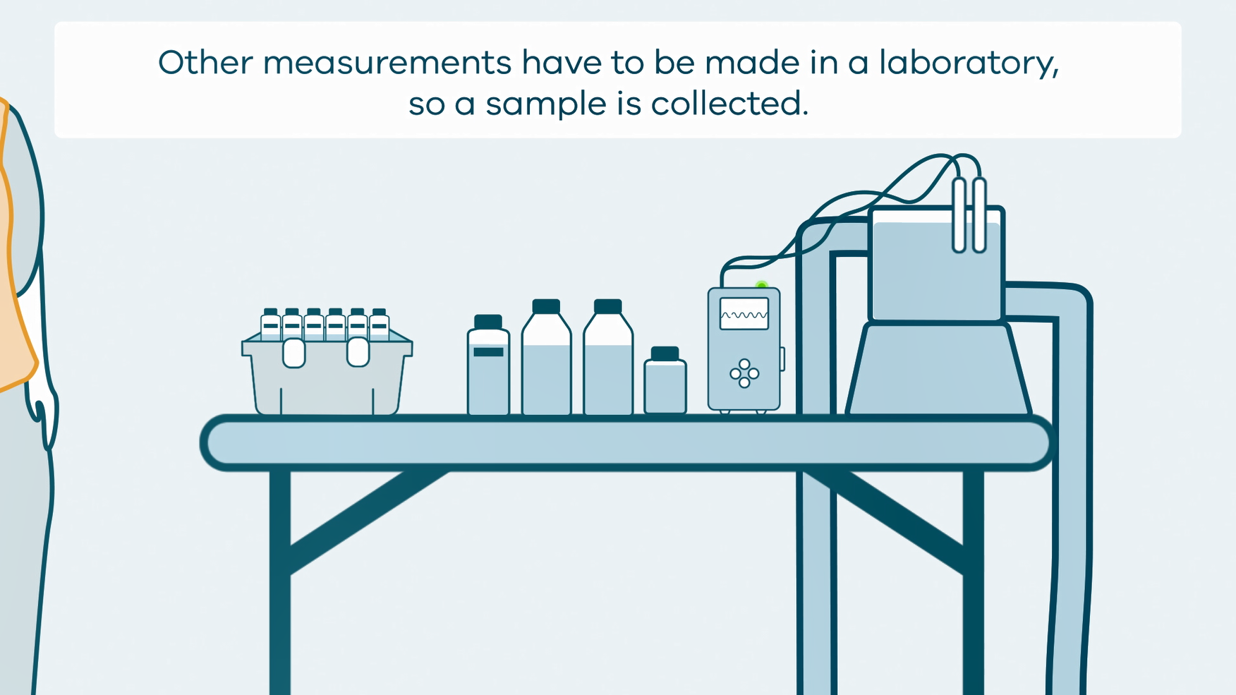
The 2D animation includes a simplified view of what groundwater sampling equipment looks like, what the equipment measures and how scientists use the data.
Simple
Identification info
- Date (Creation)
- 2022-06-02
- Date (Publication)
- 2022-06-27T01:54:35
- Citation identifier
- Geoscience Australia Persistent Identifier/https://pid.geoscience.gov.au/dataset/ga/146830
- Citation identifier
- Digital Object Identifier/https://dx.doi.org/10.26186/146830
- Cited responsible party
-
Role Organisation / Individual Name Details Author Soroka, L.
Corporate Division Internal Contact Publisher Commonwealth of Australia (Geoscience Australia)
Voice
- Purpose
-
Stakeholder engagement
- Status
- Completed
- Point of contact
-
Role Organisation / Individual Name Details Point of contact Commonwealth of Australia (Geoscience Australia)
Voice Point of contact Soroka, L.
Corporate Division Internal Contact Resource provider Corporate Division
External Contact
- Spatial representation type
- Topic category
-
- Geoscientific information
Extent
Extent
))
- Maintenance and update frequency
- As needed
Resource format
- Title
-
Product data repository: Various Formats
- Website
-
Data Store directory containing the digital product files
Data Store directory containing one or more files, possibly in a variety of formats, accessible to Geoscience Australia staff only for internal purposes
- theme.ANZRC Fields of Research.rdf
-
-
ENVIRONMENTAL SCIENCES
-
EDUCATION
-
EARTH SCIENCES
-
- Project
-
-
EFTF
-
- Project
-
-
Exploring for the Future
-
- Project
-
-
Geoscience Knowledge Sharing
-
- Project
-
-
Land Access Stakeholder Engagement
-
- Theme
-
-
Groundwater
-
- Theme
-
-
Stakeholder Engagement
-
- Theme
-
-
Field Activity
-
- Theme
-
-
Borehole
-
- Theme
-
-
Land Access
-
- Keywords
-
-
Published_External
-
Resource constraints
- Title
-
Creative Commons Attribution 4.0 International Licence
- Alternate title
-
CC-BY
- Edition
-
4.0
- Access constraints
- License
- Use constraints
- License
Resource constraints
- Title
-
Australian Government Security ClassificationSystem
- Edition date
- 2018-11-01T00:00:00
- Classification
- Unclassified
- Language
- English
- Character encoding
- UTF8
Distribution Information
- Distributor contact
-
Role Organisation / Individual Name Details Distributor Commonwealth of Australia (Geoscience Australia)
Voice
- OnLine resource
-
Link to YouTube video
Link to YouTube video
- Distribution format
-
Resource lineage
- Statement
-
New product
Metadata constraints
- Title
-
Australian Government Security Classification System
- Edition date
- 2018-11-01T00:00:00
- Classification
- Unclassified
Metadata
- Metadata identifier
-
urn:uuid/1aa5968a-3ab9-4448-8517-6cb888ad3232
- Title
-
GeoNetwork UUID
- Language
- English
- Character encoding
- UTF8
- Contact
-
Role Organisation / Individual Name Details Point of contact Commonwealth of Australia (Geoscience Australia)
Voice Owner Soroka, L
Internal Contact Point of contact Soroka, L.
Corporate Division Internal Contact
Type of resource
- Resource scope
- Document
- Name
-
GA publication: Groundwater Sampling animation
Alternative metadata reference
- Title
-
Geoscience Australia - short identifier for metadata record with
uuid
- Citation identifier
- eCatId/146830
- Date info (Creation)
- 2019-04-08T01:55:29
- Date info (Revision)
- 2019-04-08T01:55:29
Metadata standard
- Title
-
AU/NZS ISO 19115-1:2014
Metadata standard
- Title
-
ISO 19115-1:2014
Metadata standard
- Title
-
ISO 19115-3
- Title
-
Geoscience Australia Community Metadata Profile of ISO 19115-1:2014
- Edition
-
Version 2.0, September 2018
- Citation identifier
- https://pid.geoscience.gov.au/dataset/ga/122551
Overviews
Spatial extent
Provided by
